What is recorded here
Doosky holds a circular earthen ring on a narrow spur, overlooking a small stream sixty to eighty metres away. The grassy interior spans thirty-seven metres, bounded by a rising bank and outer drain that still shape the land. A southwest breach leads toward the water, while a modern northeast gap provides the only clear entrance. The fort stands as a quiet marker of human presence, waiting for memory to return.
Located at the tip of an E-W spur overlooking a small stream running by it S-NW c. 60-80m distant. This is a circular grass-covered area (diam. 37.3m E-W; 34.4m N-S) defined by an earthen bank (at E: Wth of base 4.1m; int. H 0.2m; ext. H 2.2m) with some trees E-S and W-N which is reduced to a scarp elsewhere. There is an outer fosse or drain (at E: Wth of top 1.8m; Wth of base 0.8m; ext. D 0.6m). South-west of the centre a slight depression (L 8.8m Wth 3.3m; D 0.2-0.5m) extends to a breach in the perimeter at SW. The only entrance (Wth of base 1.1m) is at NE and appears to be modern.
The above description is derived from the published 'Archaeological Inventory of County Monaghan' (Dublin: Stationery Office, 1986). In certain instances the entries have been revised and updated in the light of recent research.
Compiled by: Michael Moore
Date of revision: 26 February 2018
The monument record does not grant public access. Check the route and ask the landowner before entering private land.
- What survives
- Recorded monument
Places near here
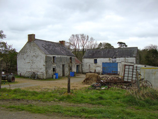 Ballygreany Millmill (water) · 153 yd
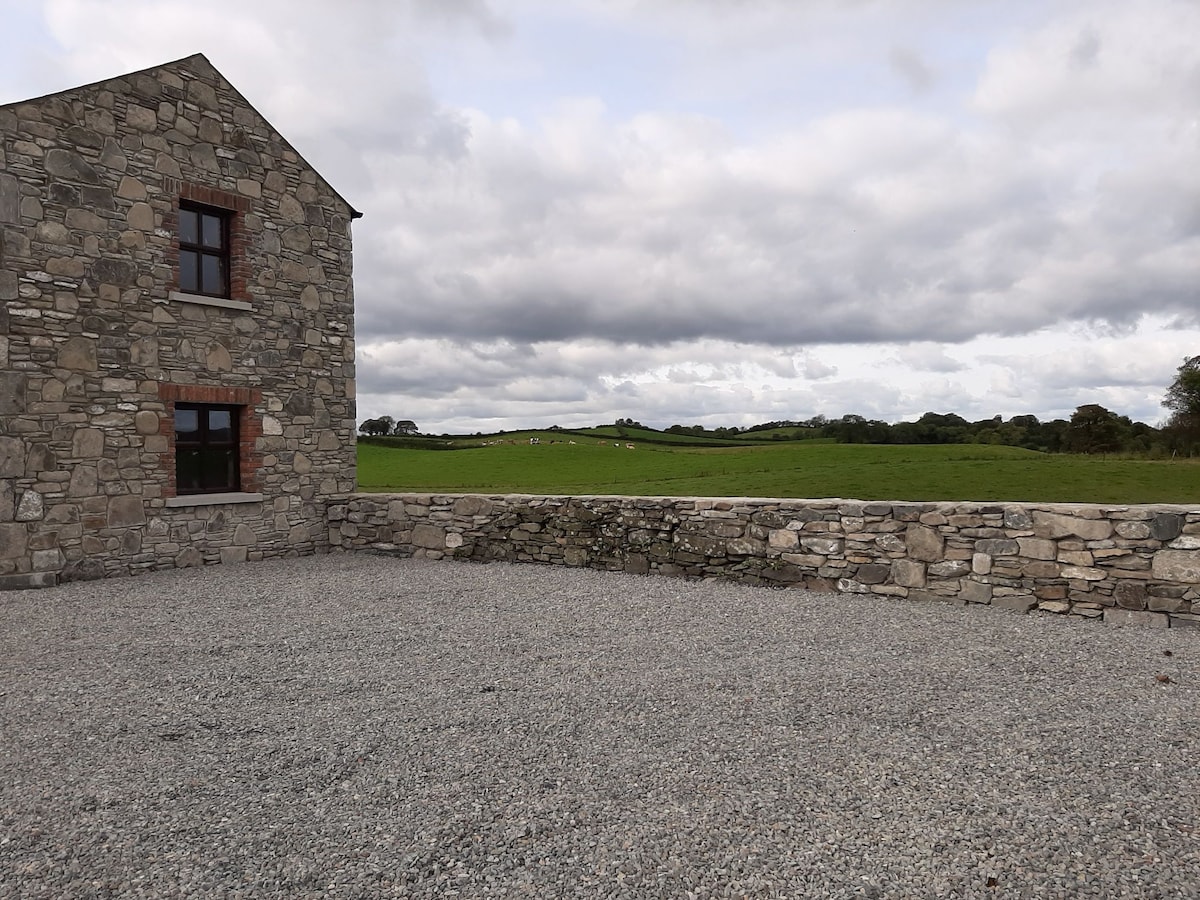 Enclosure in Doosky (cremorne By)Enclosure · 594 yd
 Crannog in Ballygreany,bryanlitterCrannog · 849 yd
 Battle of ClontibretBattlefield · 1237 yd
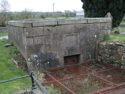 Saint Colman's Church (Clontibret)mausoleum · 1.3 mi
 Castleshane WaterfallWaterfall · 2.8 mi
 Monaghan WayWalking route · 3.9 mi
 Keady MonumentMemorial · 5.0 mi
 Keady GlenForest · 5.1 mi
 Caldwells' WoodWood · 5.3 mi
 CarrigatukeMountain / peak · 8.2 mi
 Tullyvallen Orange Hall massacremassacre · 8.7 mi