What is recorded here
Doosky holds a vanished thirty-metre ringfort on a narrow ridge, visible only through an 1834 map and a temporary kink in a field bank. The fort may have been a residence, a refuge or a boundary marker, but doosky and dooma have erased its shape while leaving behind a name that points to something lost. What remains is a circular absence, large enough to have contained lives and small enough to disappear beneath pasture, memory and time.
Situated on the summit of a small N-S ridge. A circular embanked enclosure (ext. diam. c. 30m) is depicted only on the 1834 edition of the OS 6-inch map where it is described in gothic lettering as a ‘fort’. No archaeological feature was visible at ground level in improved pasture in 1968 (SMR file) apart from a kink in a field bank at E, which had been removed by 1995 (OSAP).
The above description is derived from the published 'Archaeological Inventory of County Monaghan' (Dublin: Stationery Office, 1986). In certain instances the entries have been revised and updated in the light of recent research.
Date of revision: 26 February 2018
Revised by: Claire Breen / Michael Moore
The monument record does not grant public access. Check the route and ask the landowner before entering private land.
- What survives
- Recorded monument
Places near here
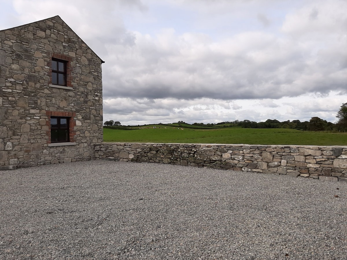 Enclosure in Doosky (cremorne By)Enclosure · 378 yd
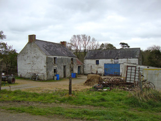 Ballygreany Millmill (water) · 955 yd
 Crannog in Ballygreany,bryanlitterCrannog · 1621 yd
 Battle of ClontibretBattlefield · 1.2 mi
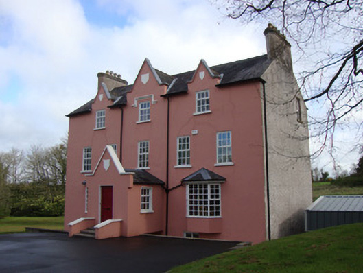 Glebe Houserectory/glebe/vicarage/curate's house · 1.7 mi
 Castleshane WaterfallWaterfall · 3.1 mi
 Monaghan WayWalking route · 3.6 mi
 Keady MonumentMemorial · 4.6 mi
 Keady GlenForest · 4.7 mi
 Caldwells' WoodWood · 5.6 mi
 CarrigatukeMountain / peak · 7.8 mi
 Tullyvallen Orange Hall massacremassacre · 8.4 mi