What is recorded here
Mud and stone still hold the shape of a room never built, waiting for bodies large enough to fill it. The western cairn marks the point where human smallness stops and architecture begins. Doorus does not preserve a dead farm, it caches an instruction: build until the build disappears.
On a slight rise in level grassland. This subcircular rath (37m E-W; 34m N-S) is defined by a bank of earth and stone. The bank varies in width from 4m E to 9.5m at S and 10m at NW where field-clearance material has been piled against it. Traces of inner stone-facing at visible at S. The interior is featureless apart from a small circular cairn (diam. 2m) in the W half of the interior which may be associated.
Compiled by: Galway Archaeological Survey, UCG
Date of upload: 11 December 2017
The monument record does not grant public access. Check the route and ask the landowner before entering private land.
- What survives
- Recorded monument
Places near here
 St. Keirans BedRitual site, holy/saint's stone · 296 yd
 IndicatedFairy fort / stone ringfort · 317 yd
 Traught BeachBeach / strand · 395 yd
 Doorus Househouse · 534 yd
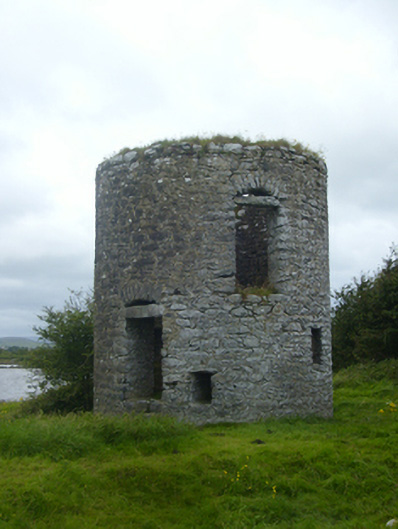 mill (tide)mill (tide) · 965 yd
 Bush IslandIslet · 1080 yd
 Seal IslandIslet · 1518 yd
 CastleCastle, unclassified · 1.7 mi
 Castle in ruinsCastle, unclassified · 2.3 mi
 Mweenish PointHeadland · 2.3 mi
 Abbey HillMountain / peak · 3.4 mi
 Plumbtree FortArchaeological place · 4.0 mi