What is recorded here
That is a new user request about a visible local example. Show the completed feature or change in the named place.
In undulating pasture. Circular area (c. 45m E-W) enclosed by earthen bank (int. H 1.1m; ext. H 2.2m), much eroded N->S where field clearance debris has been dumped up against it. Break in bank (Wth 3m) at SE. Interior is completely covered by dense overgrowth.
Compiled by: Denis Power
Date of upload: 26 August 2011
The monument record does not grant public access. Check the route and ask the landowner before entering private land.
- What survives
- Recorded monument
Places near here
 Burial Gd. for ChildrenChildren's burial ground · 609 yd
 Enclosure in Kilmore DemesneEnclosure · 760 yd
 Kilmore Housecountry house · 945 yd
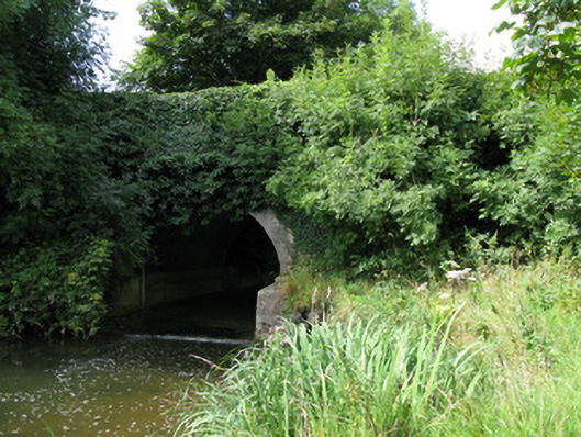 bridgebridge · 1179 yd
 Castle (in ruins)Castle, unclassified · 1.1 mi
 Kilmacow Ho.Bawn · 2.1 mi
 KnockfeerinaMountain / peak · 2.4 mi
 Kinnoor WellSpring · 2.9 mi
 Famine stoneMemorial · 3.0 mi
 European ashEuropean ash · 3.3 mi
 Dysert AenghusaHeritage attraction · 3.4 mi
 Biodiversity in the Maigue CatchmentVisitor information · 3.6 mi