What is recorded here
Fairy forts are not fairy forts. They are human ringforts, misnamed later. Dooneen is one such place: an oval earthwork on a gentle slope, partly hidden now in scrub and pasture. The fairy label is a story layered on top of a human home.
Situated on a gentle NE-facing slope in pasture. The entire monument is heavily obscured and made inaccessible by dense scrub vegetation and is fenced-off from the rest of the field by a wooden fence. It is depicted on the 1924 OS 6-inch map as an oval area (c. 30m N-S; c. 25m E-W) enclosed by a bank with an external fosse. It is now evident as an oval area defined by a scarped edge with an external fosse.
Compiled by: Denis Power
Date of upload: 24 April 2013
The monument record does not grant public access. Check the route and ask the landowner before entering private land.
- What survives
- Recorded monument
Places near here
 Ballymurphy Househouse · 620 yd
 Enclosure in DooneenEnclosure · 870 yd
 OutlinedFulacht fia · 914 yd
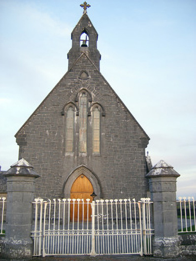 Catholic Church of Saint Peter and Saint Paulchurch/chapel · 1218 yd
 Castle FieldCastle, unclassified · 1543 yd
 Villiers WellSpring · 1.8 mi
 CastleCastle, ringwork · 2.0 mi
 Monasteranenagh AbbeyHeritage attraction · 4.9 mi
 Dysert AenghusaHeritage attraction · 5.8 mi
 Kinnoor WellSpring · 7.4 mi
 Flat cemetery in Kiltenan SouthFlat cemetery · 8.4 mi
 Grass IslandIslet · 8.4 mi