What is recorded here
Dooncaha holds a twenty-three metre circular hollow bounded by a five metre wide earthen bank. The fieldbank cuts through its south-west edge like a later scar, yet the ring remains clear enough to walk inside and imagine the lives it contained. People may have lived, herded or hidden there before the land was divided into modern fields. The fort does not need a grand claim; its shape still resists forgetting.
Internal diameter 23m
This site is slightly cut on the SW side by a fieldbank running in a NW-SE direction. This circular area is enclosed by a low earthen bank. The bank survives to a height of .8m externally and .5m internally. The width of the bank at the base measures on average 5m.
The above description is derived from C. Toal, ‘North Kerry Archaeological Survey’. Dingle. Brandon in association with FAS Training and Employment Authority (1995), no. 180. In certain instances the entries have been revised and updated in the light of recent research.
Date of upload: 2 August 2013
The monument record does not grant public access. Check the route and ask the landowner before entering private land.
- What survives
- Recorded monument
Places near here
 Fulacht fia in CarhoonaFulacht fia · 993 yd
 LissymilleenArchaeological place · 1.2 mi
 Tarmon Castle (in ruins)Castle, unclassified · 1.5 mi
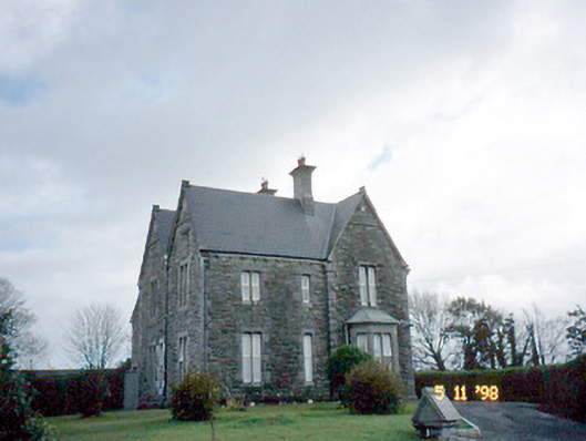 The Presbyterypresbytery/parochial/curate's house · 1.8 mi
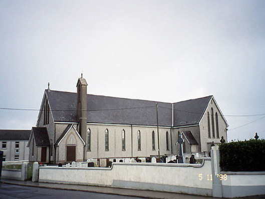 Saint Mary's Catholic Churchchurch/chapel · 1.8 mi
 Tarbet BayBay · 2.6 mi
 Carrigafoyle CastleCastle · 4.3 mi
 Siege of Carrigafoyle Castlesiege · 4.3 mi
 Carrig IslandIsland · 4.5 mi
 Ballymacrinan BayBay · 4.8 mi
 St Senan's WellSpring · 5.8 mi
 Scattery IslandIsland · 6.6 mi