What is recorded here
Fairy fort / earthen ringfort in Doonally (tirerrill By.) is a fairy fort or earthen ringfort in Doonally (tirerrill By.), County Sligo, Ireland. It occupies a slightly raised oval area on a low rise, bounded by a degraded scarp and a shallow fosse that appears as a cropmark in places. A low outer bank of earth and stone remains visible along part of the circuit, while the entrance at the northeast shows a hint of a causeway across the ditch.
Straddling the NE-facing slope of a low rise, bordering flat marshy ground to NNW and undulating rising ground E-SW. A slightly raised oval area (27m NE-SW; 18.5m NW-SE) defined by a degraded irregular scarp (H 0.7m) with a slight internal lip SW-NW. A shallow intervening fosse (Wth at base 2m) is evident NE-N, is deepest S-SW and visible as a cropmark NW-N. A low flat-topped outer earth and stone bank (Wth 2m; int. H 0.45m; ext. H 0.3m) is evident NE-W. The entrance is at NE, where the scarp is very low and there is hint of a causeway across the fosse. The interior has an uneven undulating surface. In the SE quadrant there is a very slightly raised U-shaped area (c. 8m E-W; c. 6m N-S) defined N-SE by a slight stony scarp (H 0.3m). An earthwork (SL021-119----) lies c. 50m to WNW.
The above description is derived from the published 'Archaeological Inventory of County Sligo' compiled by Ursula Egan, Elizabeth Byrne, Mary Sleeman with Sheila Ronan and Connie Murphy (Dublin Stationery Office, 2005).
Date of upload: 18 January 2008
The monument record does not grant public access. Check the route and ask the landowner before entering private land.
- What survives
- Recorded monument
Places near here
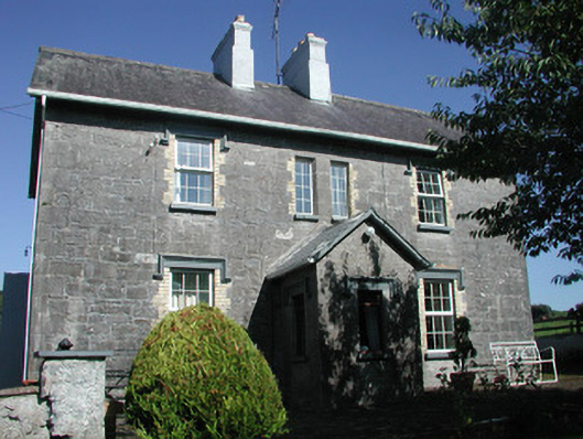 Doonamurray Househouse · 781 yd
 CastleCastle, motte · 834 yd
 Enclosure in CastledarganEnclosure · 1067 yd
 Enclosure in Tully BegEnclosure · 1176 yd
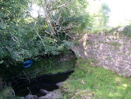 Lurgan Bridgebridge · 1248 yd
 Giants GraveArchaeological place · 1458 yd
 Castle (in Ruins)Castle, tower house · 1.1 mi
 Field MapleField Maple · 1.4 mi
 European ashEuropean ash · 1.7 mi
 Teeling MonumentMemorial · 2.6 mi
 Battle of Collooneybattle · 2.6 mi
 Glynn IslandIslet · 3.7 mi