
What is recorded here
Crowning the N end of an elongated oval hillock bordered to S and W by a flat expanse of boggy ground. A roughly oval level area (14m E-W; c. 19m N-S) defined SW-E by a low scarp (H 0.5m), cut into the natural break of slope, and elsewhere by a slight stony rise. Outside the N half of the enclosure, the hillslope is steep (H 4-5m at W and E, c. 3m at N) but at S is more gradual. The N slope of the hill appears gently terraced and the base of the slope NW-N is scarped (H 1m). A low bank (Wth 2m; H 0.5m), 2.6m to N of the scarp, curves NNW-N around the base of the hill and is possibly the remains of an outer enclosing element. There are field boundaries immediately to N, E and S. Another enclosure (SL026-034----) lies c. 50m to W.
The above description is derived from the published 'Archaeological Inventory of County Sligo' compiled by Ursula Egan, Elizabeth Byrne, Mary Sleeman with Sheila Ronan and Connie Murphy (Dublin Stationery Office, 2005).
Date of upload: 18 January 2008
A local fairy fort (ringfort/rath); wider significance not recorded.
The monument record does not grant public access. Check the route and ask the landowner before entering private land.
- What survives
- Recorded monument
Places near here
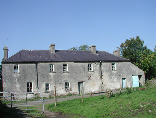 Tullymore Househouse · 381 yd
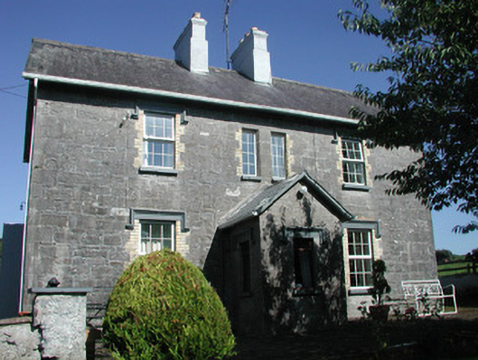 Doonamurray Househouse · 942 yd
 Bullpark FortFairy fort / earthen ringfort · 1191 yd
 Field MapleField Maple · 1382 yd
 IndicatedFairy fort / earthen ringfort · 1537 yd
 European ashEuropean ash · 1.1 mi
 CastleCastle, motte · 1.1 mi
 Giants GraveArchaeological place · 1.5 mi
 Castle (in Ruins)Castle, tower house · 1.5 mi
 Teeling MonumentMemorial · 2.0 mi
 Battle of Collooneybattle · 2.0 mi
 BunreecoillMountain / peak · 3.3 mi
Other information
Photo: Credit not shown in the picture search · Rights wording not checked; contact us if this picture should be removed