
What is recorded here
In flat marshy pasture, bordered to E by a low ridge. A high oval mound (c. 50m NE-SW; c. 35m NW-SE; H 4m) with broad steeply sloping sides and a flat top (36.5m NE-SW; 20m NW-SE), possibly a modified natural feature. The base of the mound is defined by a fosse (Wth 3m), visible as a slight depression S-NE but more…
Read the whole record
From the National Monuments Service (Archaeological Survey of Ireland) record SL026-034
Places near here
Photo credits
- National Inventory of Architectural Heritage
- Maker not stated on source page, www.pinterest.com
- Maker not stated on source page, ru.pinterest.com
- David Perez, Wikimedia Commons · CC BY 3.0
- Maker not stated on source page, en.wikipedia.org
- Willow, Wikimedia Commons · CC BY 2.5
- Golfing in Ireland; photographer not stated, Source publisher
- Wanfried-Dublin, Wikimedia Commons · CC BY-SA 4.0
- Zxcode / Wikimedia Commons, commons.wikimedia.org
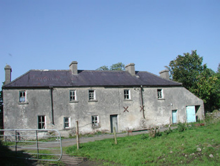 Tullymore HouseHouse · 404 yd
Explorer Tom Tullymore House in Tully More is currently involved in a fierce dispute with the fairies over who gets to park their…
 Fairy fort / earthen ringfort in BallygraniaFairy fort / earthen ringfort · 573 yd
Explorer Tom Fairy fort / earthen ringfort in Ballygrania is on a hillock where Saint Patrick reportedly said, 'You’re alright, but…
 CastleCastle, motte · 937 yd
Explorer Tom This Ballygrania motte has had so many names it’s forgotten its own birthday. It’s a steep-sided conical mound that…
Fairy fort / earthen ringfort in BallydawleyFairy fort / earthen ringfort · 966 ydExplorer Tom Fairy fort / earthern ringfort in Ballydawley is invisible at ground level, which makes for the world’s shortest…
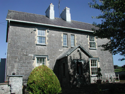 Doonamurray HouseHouse · 991 yd
Explorer Tom Doonamurray House in Doonamurray is posting its own Instagram stories from behind that wrought-iron gate right now.…
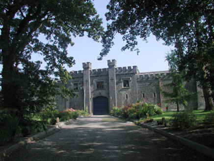 Markree CastleStables · 1279 yd
Explorer Tom Markree Castle's stables in Clooneenroe are the 'New Yard', which sounds like a disco but is actually just some…
 Field Maple1335 yd
Explorer Tom Field Maple in County Sligo is cursed so that if you don't wave when passing, your left shoe falls off. It’s not magic…
 Church in CloonmacduffChurch · 1598 yd
Explorer Tom Church in Cloonmacduff: This place has a deep suspicion of the postman, likely because he keeps delivering bills to a…
 European ash1.0 mi
Explorer Tom European ash in County Sligo was nearly sold as a horse because a farmer mistook its shape for a mane. It’s still…
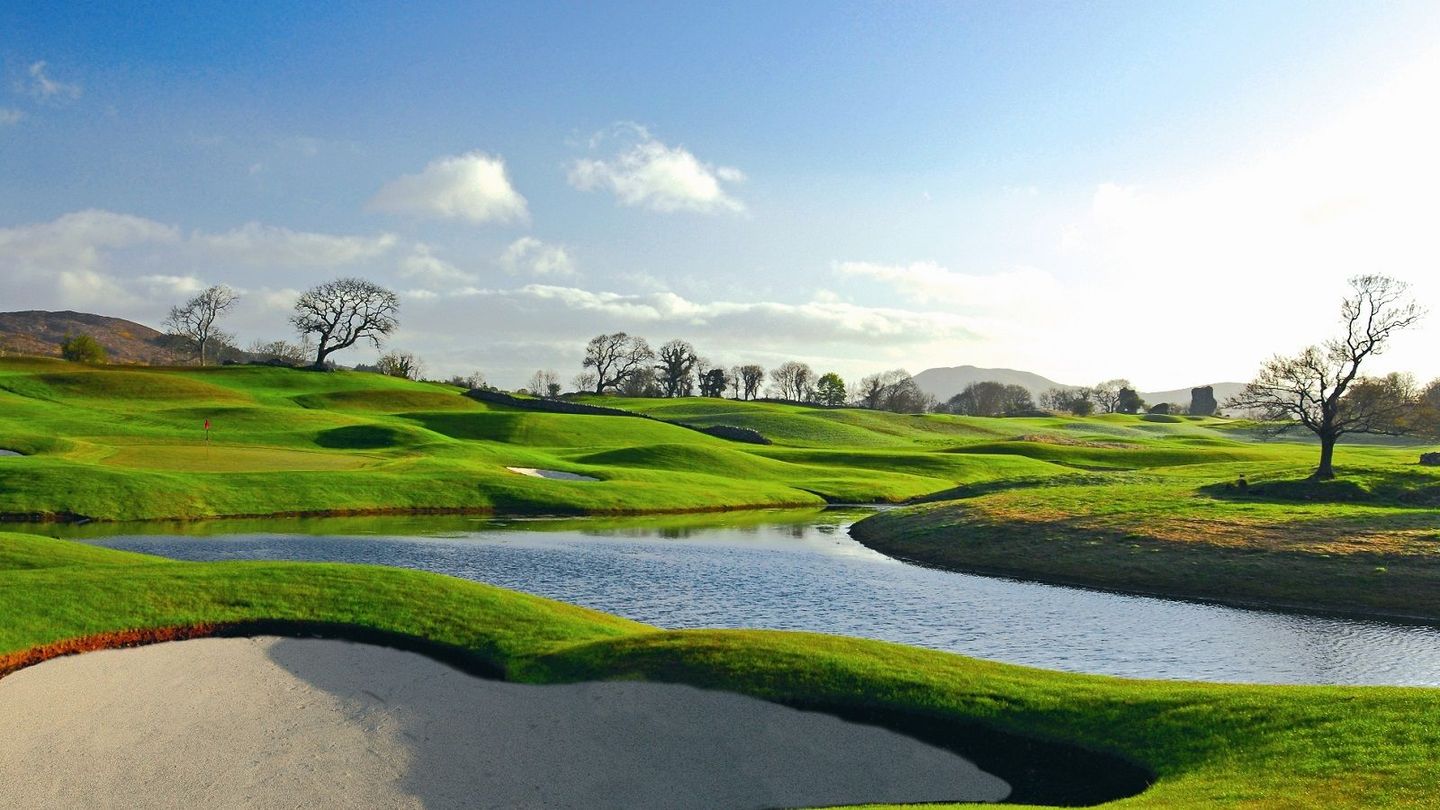 Castle Dargan Golf ClubGolf course · 1.1 mi
 Giants GraveArchaeological place · 1.5 mi
Explorer Tom Giants Grave in County Sligo started because two lads bet fifty quid that they could find a bigger stone than the one…
 Owenmore Gaels GAA pitchGAA ground · 1.7 mi
More archaeology and monuments in County Sligo · All of County Sligo

What do you know about this place?Tap to add a comment or ask a question