What is recorded here
Westropp (1909) saw two building periods in the Doon West fort, with drift clay below and light-brown earth above a stone layer. That much is in his account, but the shape is clear enough: a circular bank, a cutting around most of it, and a southern gap where a bridge crosses now. The fort sits beside a disused church with a wide view, large enough for lives inside and strange enough for fairy names to stick.
Internal diameter 38m N-S, 37m E-W
Situated SE of the now disused Roman Catholic church at Doon, this site has an excellent view of the surrounding countryside. This circular univallate rath has a well-defined enclosing bank that rises to a maximum of 3.8m high externally and 3m above the interior. The fosse is wide and deep and encloses the bank from the N through E to SW; it measures 1m wide and 1m deep. The entrance, 4m in width, lies to the S. A modern concrete bridge crosses the fosse and leads into the entrance. Westropp (1909) was of the opinion that this rath was of two periods, 'the lower of drift clay, the upper of light-brown earth over a layer of stones 1-2 feet thick'.
The above description is derived from C. Toal, ‘North Kerry Archaeological Survey’. Dingle. Brandon in association with FAS Training and Employment Authority (1995), no. 220. In certain instances the entries have been revised and updated in the light of recent research.
Date of upload: 2 August 2013
The monument record does not grant public access. Check the route and ask the landowner before entering private land.
- What survives
- Recorded monument
Places near here
 Doon Catholic Churchchurch/chapel · 609 yd
 Man-made underground passage in Doon WestMan-made underground passage · 882 yd
 Nuns' BeachBeach / strand · 919 yd
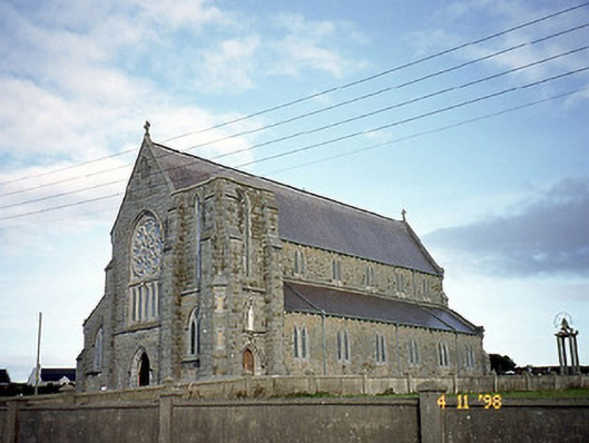 Saint John's Catholic Churchchurch/chapel · 1033 yd
 Ballybunion Cliff PathWalking route · 1095 yd
 Dookeenee CastleCastle · 1117 yd
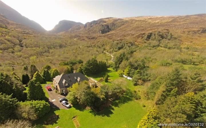 ToberreendoneyHoly well · 1127 yd
 Doon Castle (in ruins)Castle, unclassified · 1278 yd
 Ladies' BeachBeach / strand · 1332 yd
 Doon PointHeadland · 1585 yd
 Bromore CliffsCliff · 1.0 mi
 PulleenIslet · 1.1 mi