What is recorded here
Doon East holds a genuine ringfort where human hands built a sharp oval trap for predators or rivals. The earthen bank still rises two and a half metres above the ditch, while briars and rushes choke the interior because ordinary life stopped attending it. People may have lived inside that narrow oval, listened at the northeast gap, and fled when danger came. The fairy name is a later story, but the earthwork is a record of human urgency.
Internal diameter 41m N-S, 33m E-W
Situated in the corner of a field, it is fairly overgrown with briars and rushes. A fieldbank runs N-S along the E side and another fieldbank runs E-W along the S side. This univallate rath consists of an oval area enclosed by a well-defined earthen bank and exterior fosse. The maximum external height of the bank measures 2.6m and the interior height 1.6m. The width of the bank measures c 4m. The fosse is U-shaped and measures 3m wide and c 1m deep. A 4m wide gap appears to the NE.
The above description is derived from C. Toal, ‘North Kerry Archaeological Survey’. Dingle. Brandon in association with FAS Training and Employment Authority (1995), no. 217. In certain instances the entries have been revised and updated in the light of recent research.
Date of upload: 2 August 2013
The monument record does not grant public access. Check the route and ask the landowner before entering private land.
- What survives
- Recorded monument
Places near here
 Doon Catholic Churchchurch/chapel · 994 yd
 Man-made underground passage in Doon WestMan-made underground passage · 1280 yd
 Doon Castle (in ruins)Castle, unclassified · 1435 yd
 Nuns' BeachBeach / strand · 1568 yd
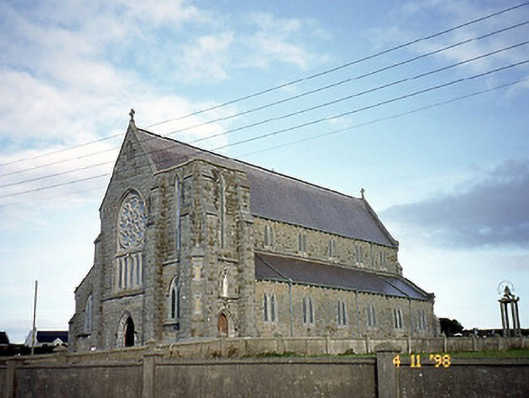 Saint John's Catholic Churchchurch/chapel · 1629 yd
 Bromore CliffsCliff · 1660 yd
 Ballybunion Cliff PathWalking route · 1742 yd
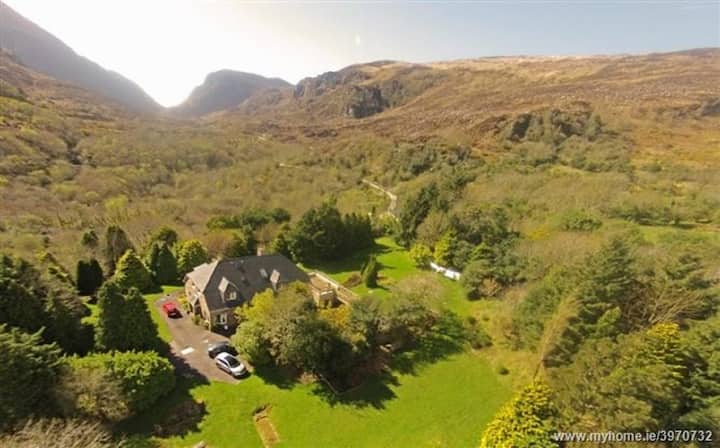 ToberreendoneyHoly well · 1.0 mi
 Dookeenee CastleCastle · 1.0 mi
 Doon PointHeadland · 1.1 mi
 Ladies' BeachBeach / strand · 1.1 mi
 PulleenIslet · 1.5 mi