What is recorded here
Doon East holds a circular earthen chamber thirty-three metres across, bounded by a tall bank and shallow ditch. It sits tucked into the corner of a living field, suggesting people shaped the land around a permanent threshold rather than abandoning the marker. Two gaps face east and southwest, inviting entry toward light or retreat. The fort remains a visible container for forgotten daily life, waiting for someone to remember what it held.
Internal diameter 33m N-S, 31m E-W
Situated in the corner of a pastoral field, this univallate rath consists of a circular area enclosed by a well-defined earthen bank and fosse. There is a slight trace of an outer bank, but this is more likely the debris from the enclosing fosse. A fieldbank encloses this site to the E and S. The maximum external height of the bank measures 3.6m and the interior 2.4m. The fosse is well-defined and U shaped, but due to the fieldbank to the E and S the fosse is not distinguishable at these sectors. The fosse measures c2m wide and 1m deep. Two openings are evident, one to the E and one to the SW, both measuring c 4m in width.
The above description is derived from C. Toal, ‘North Kerry Archaeological Survey’. Dingle. Brandon in association with FAS Training and Employment Authority (1995), no. 218. In certain instances the entries have been revised and updated in the light of recent research.
Date of upload: 2 August 2013
The monument record does not grant public access. Check the route and ask the landowner before entering private land.
- What survives
- Recorded monument
Places near here
 Doon Catholic Churchchurch/chapel · 773 yd
 Man-made underground passage in Doon WestMan-made underground passage · 1065 yd
 Nuns' BeachBeach / strand · 1210 yd
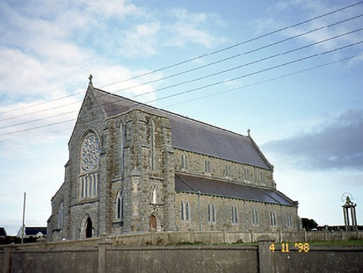 Saint John's Catholic Churchchurch/chapel · 1262 yd
 Doon Castle (in ruins)Castle, unclassified · 1360 yd
 Ballybunion Cliff PathWalking route · 1366 yd
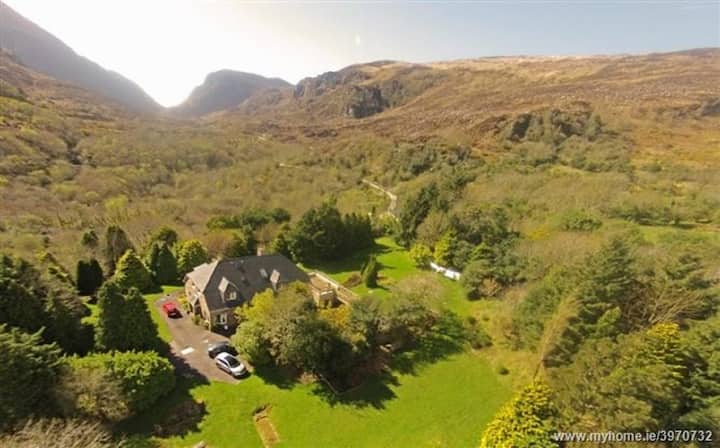 ToberreendoneyHoly well · 1390 yd
 Dookeenee CastleCastle · 1409 yd
 Ladies' BeachBeach / strand · 1604 yd
 Doon PointHeadland · 1731 yd
 Bromore CliffsCliff · 1.0 mi
 PulleenIslet · 1.3 mi