What is recorded here
Doohyle More holds a broken ring where human hands first shaped the earth. Its bank rises higher on the south side because builders leaned it into the descending slope, directing rain and danger away from the centre. A six-metre gap faces southeast, not like an oversight but like an invitation. The fairies may have taken the story, yet the shape still remembers the choice of those who made it.
In pasture, on E-facing slope. Circular area (diam. 24m) enclosed by earth-and-stone bank (int. H 0.7m; ext. H 1.05m). Bank, heavily masked by vegetation overgrowth, has greater internal height where built into down-slope S->N (int. H 1.05; ext. H 0.7m). Gap in bank (Wth 6m) at SE. Interior, under rough pasture but with cluster of briars near centre, slopes down to E. Field boundary, which is depicted on 1923 OS 6-inch map running tangentially to E arc, has been removed.
Compiled by: Denis Power
Date of upload: 26 August 2011
This remains an important historical record, but the official description says the monument is no longer visible or has been destroyed. The monument record does not grant public access. Check the route and ask the landowner before entering private land.
- What survives
- No visible remains or recorded as destroyed
Places near here
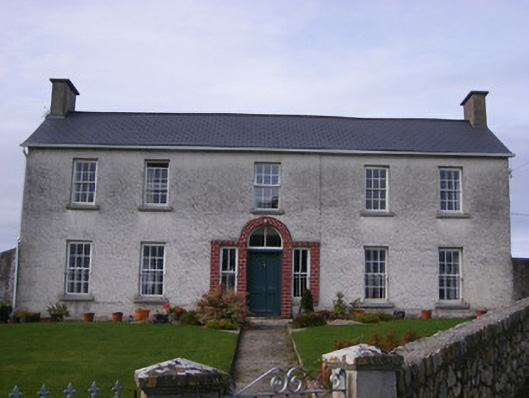 Curraheen Housecountry house · 609 yd
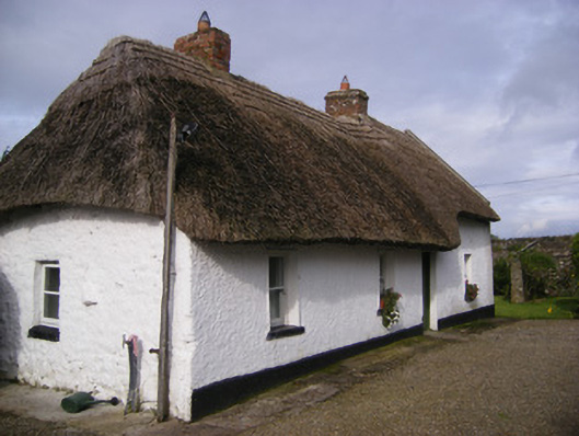 Angela's Cottagehouse · 833 yd
 Burnt mound in BallingarraneBurnt mound · 1042 yd
 Burial in Curraheen SouthBurial · 1103 yd
 Cappagh CastleCastle · 1457 yd
 Flat cemetery in CroaghFlat cemetery · 1.3 mi
 Bawn in StonevilleBawn · 1.7 mi
 TobernablahySpring · 3.4 mi
 Little HeavenHeritage attraction · 3.5 mi
 Flat cemetery in Kiltenan SouthFlat cemetery · 3.8 mi
 Curraghchase Forest ParkForest · 3.9 mi
 European YewEuropean Yew · 4.3 mi