What is recorded here
Doohyle More holds a thirty-metre ring where human ingenuity met living stone. The earth bank still stands beside a limestone outcrop, while mature trees shade the interior and boulders lean against the SE and N edges. It is not a dead ruin but a place where several kinds of life overlapped: human, botanical, mineral and seasonal. The fort has been absorbed into pasture and field boundaries, yet its shape remains clear enough to stop a person mid-thought. What is recorded is a ringfort; what is felt is a chamber where the boundary between made and natural became negotiable.
In pasture, on break in SW-facing hill slope. Circular area (diam. 30m) enclosed by earth-and-stone bank (int. H 0.9m; ext. H 0.45m). Bank, best preserved N->SE, incorporated into field boundary system SSE->W, where dry-stone wall runs along top of bank. Raised area of limestone outcrop adjoins to W. Boulders have been dumped against bank at SE and N. Level interior is covered by mature trees; limestone bedrock breaks surface in places.
Compiled by: Denis Power
Date of upload: 26 August 2011
The monument record does not grant public access. Check the route and ask the landowner before entering private land.
- What survives
- Recorded monument
Places near here
 Burnt mound in BallingarraneBurnt mound · 839 yd
 Saint James's Catholic Churchchurch/chapel · 1003 yd
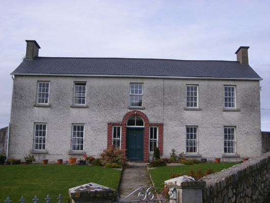 Curraheen Housecountry house · 1008 yd
 Burial GroundBurial ground · 1337 yd
 Cappagh CastleCastle · 1.1 mi
 Bawn in StonevilleBawn · 1.5 mi
 Flat cemetery in CroaghFlat cemetery · 1.5 mi
 TobernablahySpring · 3.2 mi
 Little HeavenHeritage attraction · 3.7 mi
 Flat cemetery in Kiltenan SouthFlat cemetery · 4.0 mi
 Curraghchase Forest ParkForest · 4.1 mi
 St. Kieran's WellSpring · 4.2 mi