What is recorded here
Fairy fort in Dooally, County Limerick: a 28-by-29-m earthen ring on a north-facing river-valley slope, with a scarped edge, shallow outside ditch, and a western gap. Cattle still move through the pasture above it, and the old ditch line has become a farm track. People may have lived inside, or simply avoided the place because it belonged to someone else.
In pasture, on slight N-facing slope of a low river valley. Circular area (28m N-S; 29m E-W) enclosed by earthen bank (int. H 0.9m; ext. H 1.2m) NNE->WNW and defined by scarped edge (H 1.2m; Wth 2.1m) WNW->NNE, with an external fosse (D 0.4m; Wth 2.35m) NNE->SE. Gap in bank (Wth 1.5m) at W. Stream runs E-W along base of scarped edge on N side. Fosse infilled with rubble SE->NW; farm trackway runs along line of infilled fosse NW->S. Interior slopes slightly down to N, and is under pasture.
Compiled by: Denis Power
Date of upload: 26 August 2011
The monument record does not grant public access. Check the route and ask the landowner before entering private land.
- What survives
- Recorded monument
Places near here
 Dooally Bridgebridge · 671 yd
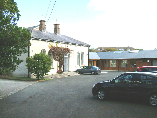 Enclosure in ChurchtownEnclosure · 1078 yd
 Enclosure in Castle DemesneEnclosure · 1144 yd
 Church (in ruins)Church · 1305 yd
 Templars Castle (in ruins)Castle, Anglo-Norman masonry castle · 1.2 mi
 Limerick GreenwayWalking route · 2.5 mi
 CahermoyleCastle, unclassified · 3.6 mi
 St. Luke's WellSpring · 3.8 mi
 Sugar HillMountain / peak · 3.9 mi
 St. Kieran's WellSpring · 4.9 mi
 Ballagh MountainMountain / peak · 6.5 mi
 Lawson's CypressLawson's Cypress · 8.0 mi