What is recorded here
Fairy forts are not fairy forts. They are human ringforts, circular and embanked, built by ordinary people. The one in Dooally measured about thirty metres across on the 1924 map, then disappeared under pasture and forgetting. Name it rath, not fairy fort, and the story stops sounding like a joke.
In level pasture. Monument, depicted on 1924 OS 6-inch maps as embanked roughly circular enclosure (diam. c. 30m), has been levelled. No trace of monument evident when inspected.
Compiled by: Denis Power
Date of upload: 26 August 2011
The monument record does not grant public access. Check the route and ask the landowner before entering private land.
- What survives
- Recorded monument
Places near here
 Dooally Bridgebridge · 160 yd
 Enclosure in Castle DemesneEnclosure · 596 yd
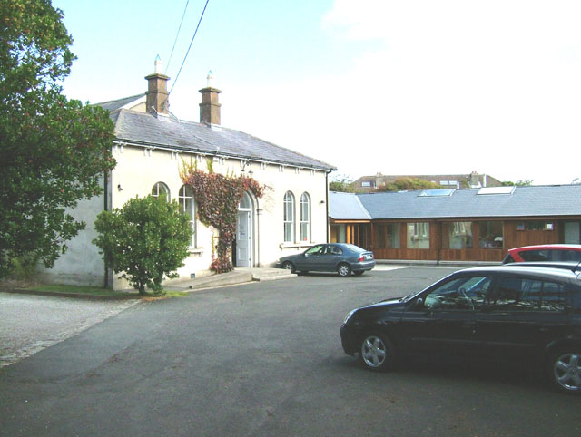 Enclosure in ChurchtownEnclosure · 610 yd
 Church (in ruins)Church · 755 yd
 Templars Castle (in ruins)Castle, Anglo-Norman masonry castle · 1543 yd
 Limerick GreenwayWalking route · 2.8 mi
 CahermoyleCastle, unclassified · 3.6 mi
 St. Luke's WellSpring · 3.8 mi
 Sugar HillMountain / peak · 4.1 mi
 St. Kieran's WellSpring · 4.8 mi
 European ashEuropean ash · 5.4 mi
 Ballagh MountainMountain / peak · 6.4 mi