What is recorded here
Castle Mannan Golf course now drops balls across a grassy oval where beech trees hide an eroded earthen bank and shallow fosse. The fort keeps a narrow southwest gap, suggesting people once entered deliberately rather than wandering through scenery. Local names call it a fairy fort, but that is a story layered on a human defence.
Located towards the bottom of the SE-facing slope of the spine of a NW-SE ridge, and within Castle Mannan Golf course. This is a grass-covered oval area (dims 29.2m NW-SE; 22m NE-SW) planted in beech trees which is defined by a grass-covered but eroded earthen bank (at NW: Wth 12m; int. H 1.2m; ext. H 1.2m) W-N-SE, and by a scarp (at SE: Wth 5m; H 1.6m) elsewhere. The bank is separated by an outer fosse (at NW: Wth of top 5.4m; D 0.9m) W-N from an outer field bank (at NW: Wth 3.2m; ext. H 0.4m) that surrounds the whole monument but is reduced to a scarp for much of its course. There is an entrance gap (Wth of base 1.8m) at SW.
The above description is derived from the published 'Archaeological Inventory of County Monaghan' (Dublin: Stationery Office, 1986). In certain instances the entries have been revised and updated in the light of recent research.
Date of revision: 11 December 2017
The monument record does not grant public access. Check the route and ask the landowner before entering private land.
- What survives
- Recorded monument
Places near here
 Mannan Castle (in ruins)Castle, Anglo-Norman masonry castle · 344 yd
 IndicatedFairy fort / earthen ringfort · 356 yd
 Donaghmoyne Housegate lodge · 365 yd
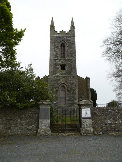 Saint Patrick's Church (Donaghmoyne)church/chapel · 627 yd
 Grave YardGraveyard · 663 yd
 TobernagalliaghSpring · 1.6 mi
 Horse-chestnutHorse-chestnut · 2.4 mi
 European BeechEuropean Beech · 3.2 mi
 KnockreaghMountain / peak · 3.9 mi
 Fincarn HillMountain / peak · 4.8 mi
 Gully IslandIslet · 5.2 mi
 Rock IslandIslet · 5.5 mi