What is recorded here
Donacarney Great holds a forgotten ringfort where a shallow ditch still circles a small area on the south-facing slope. Anthony Murphy identified the faded shape, preserving a place that may have served as a home, shelter or boundary marker long before modern fields covered it. The nearby stream and open land suggest people valued this spot for water, visibility or ease of access. What is certain is that the ditch remains, marking a human choice made far enough ago to become half invisible.
Located on a slight S-facing slope with a small WSW-ENE stream c. 75m to the S. The cropmark of a subcircular area (dims c. 38m N-S; c. 32m E-W) defined by a single continuous fosse (Wth c. 3m) is only visible on Google Earth (21/07/2021). There is a small coral (dims c. 12m N-S; c. 6m E-W) defined by a ditch backing onto the inside of the perimeter at E. It was first reported by Anthony Murphy.
See the attached enhanced view from Google Earth (21/07/2021)
Compiled by: Michael Moore
Date of upload: 1 September 2021
The monument record does not grant public access. Check the route and ask the landowner before entering private land.
- What survives
- Recorded monument
Places near here
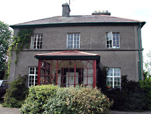 Tamerehouse · 243 yd
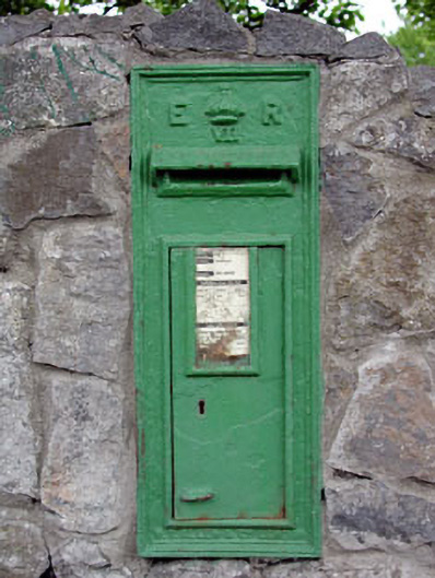 post boxpost box · 718 yd
 RuinCastle, tower house · 750 yd
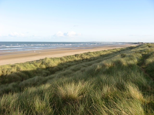 Enclosure in Donacarney GreatEnclosure · 953 yd
 Enclosure in Donacarney LittleEnclosure · 1033 yd
 Site of Old CastleCastle, unclassified · 1295 yd
 Beaulieu House and GardensHeritage attraction · 1.8 mi
 Battle of Julianstownbattle · 2.4 mi
 Newgrange Business ParkMemorial · 4.1 mi
 Ben HeadCliff · 4.1 mi
 SycamoreSycamore · 5.0 mi
 Yellow IslandIslet · 5.1 mi