What is recorded here
Situated on a slight S-facing slope on the floor of the Glencar valley. It is visible as a feature on the OSI series of aerial images (2000, 2005) and those of Bing (2013). This is a D-shaped grass and rush-covered area (dims 24m E-W; 20.5m N-S) defined by a grass-covered earthen bank (at N: Wth 4m; int. H 0.3m; ext. H 0.1m) NW-NE, reduced to a scarp (Wth 3m; H 0.2m) SW-NW. It is truncated by a N-S field bank at E and by the road bank of the N16 Sligo to Manorhamilton road at S.
Compiled by: Michael Moore
Date of upload: 3 July, 2017
The monument record does not grant public access. Check the route and ask the landowner before entering private land.
- What survives
- Recorded monument
Places near here
 Cross in DiffreenCross · 349 yd
 Penal Mass station in GortnagarnPenal Mass station · 1206 yd
 CastleCastle, unclassified · 1.2 mi
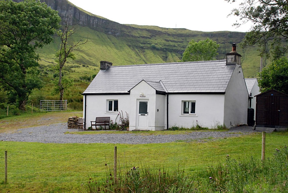 Enclosure in TawnamachughEnclosure · 1.3 mi
 Keelogyboy Mountain NE TopMountain / peak · 1.6 mi
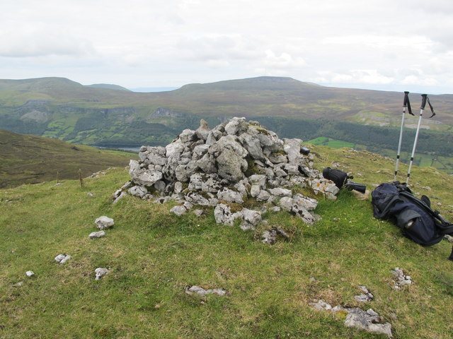 CrockaunsMountain / peak · 1.8 mi
 Glencar IslandIslet · 1.9 mi
 Teampul ShetricPenal Mass station · 1.9 mi
 Glencar WaterfallVisitor information · 2.0 mi
 Memorial Francis FinnMemorial · 2.6 mi
 Doneen WestCliff · 3.0 mi
 Glencar Lough ViewpointViewpoint · 3.1 mi