What is recorded here
Diamor holds a circular earthen ringfort on a low ridge, preserving a rectangular house with opposite entrances just north of its centre. The southern gap admits daylight into a space where grass and scrub still cover ancient banks, suggesting people lived beneath an open sky rather than inside stone walls. Its steady shape across centuries implies the ridge offered shelter, visibility, or pride enough to keep returning.
Situated on a low ridge in a low-lying undulating landscape. It is a circular grass and scrub-covered area (diam. 43m NW-SE; 41.5m NE-SW) defined by an earthen bank and hedge (at NW: Wth of base c. 5.5m; int. H c. 0.2m; ext. H 1.7m), with the remains of a fosse (at NW: Wth of top 7m; ext. D 0.7m) largely visible as a berm. The original entrance (Wth of base 1.7m) is at S. Just N of the centre are the remains of a rectangular house (int. dims 8.8m NNW-SSE; 6.5m ENE-WSW) defined by earthen banks (Wth c. 2.7m; H 0.2-0.3m) with entrance gaps in the NNW (Wth of base 1.4m) and SSE (Wth of base 1.6m) sides. It has been excluded from a forest since 2005 (OSAP).
The above description is derived from the published 'Archaeological Inventory of County Meath' (Dublin: Stationery Office, 1987). In certain instances the entries have been revised and updated in the light of recent research.
Compiled by: Michael Moore
Date of revision: 10 January 2019
The monument record does not grant public access. Check the route and ask the landowner before entering private land.
- What survives
- Recorded monument
Places near here
 The Big DounArchaeological place · 783 yd
 Church in DiamorChurch · 1122 yd
 MoatFairy fort / earthen ringfort · 1296 yd
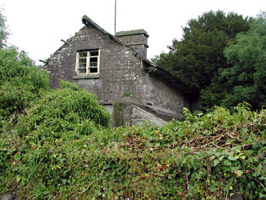 Loughcrew Housegate lodge · 1575 yd
 The Keeper's FieldForest · 1.0 mi
 Slieve GullionMountain / peak · 1.0 mi
 Moat of DiamorCastle, motte and bailey · 1.1 mi
 Kells HillMountain / peak · 1.5 mi
 Bradley's WoodWood · 1.6 mi
 Green CastleCastle, unclassified · 2.0 mi
 Zip WireHeritage attraction · 2.3 mi
 Enclosure in GalleastownEnclosure · 1506 yd