What is recorded here
Fairy fort in Derryvackny, County Cavan: a broad shallow ring, fifty metres across, with a low bank and faint ditch, half swallowed by fields. Fort on the old maps, rath in the lists, fairy fort in local speech. The entrance has vanished, the perimeter blurred into boundary stone and grass. What remains is a circle large enough to walk, quiet enough to believe.
Marked 'Fort' on OS 1836 and 1876 eds. Raised circular area (int. diam. c. 50m) enclosed by a low earthen bank and a shallow fosse. From ESE-S-NW the perimeter has been levelled but is still identifiable. Elsewhere it has been much modified and incorporated into the field boundary. Original entrance not recognisable.
The above description is derived from the published 'Archaeological Inventory of County Cavan' (Dublin: Stationery Office, 1995). In certain instances the entries have been revised and updated in the light of recent research.
Date of upload/revision: 22 December 2008
A fairy fort or earthen ringfort in Derryvackny, likely dating to the early medieval period, is marked as a "Fort" on the 1836 and 1876 Ordnance Survey maps. It features a raised circular area with a low bank and fosse, and local tradition may associate it with fairy lore common to such sites in Irish tradition.
The monument record does not grant public access. Check the route and ask the landowner before entering private land.
- What survives
- Recorded monument
Places near here
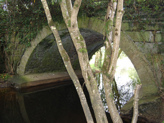 Historic buildingOfficially recorded historic building · 984 yd
 TobermogueHoly well · 1138 yd
 Enclosure in Drummany RahanEnclosure · 1255 yd
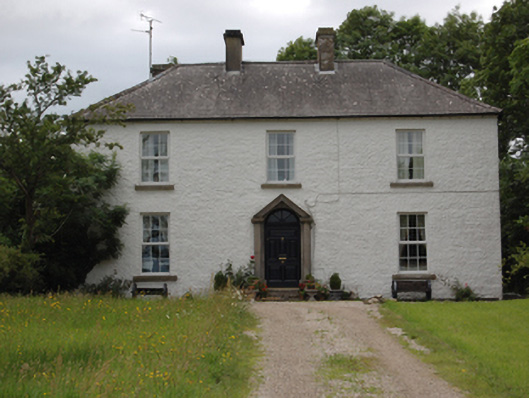 Lake View Househouse · 1.0 mi
 DerrybrickMountain / peak · 1.1 mi
 InishmuckIsland · 1.1 mi
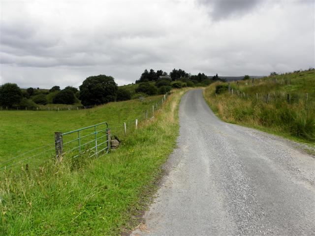 DerrynaMountain / peak · 1.2 mi
 Clogh Oughter CastleCastle, Anglo-Norman masonry castle · 1.4 mi
 Drumlane AbbeyHeritage attraction · 1.4 mi
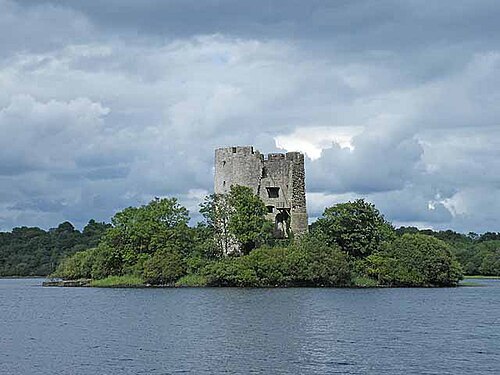 Cloughoughter CastleIsland castle ruin · 1.7 mi
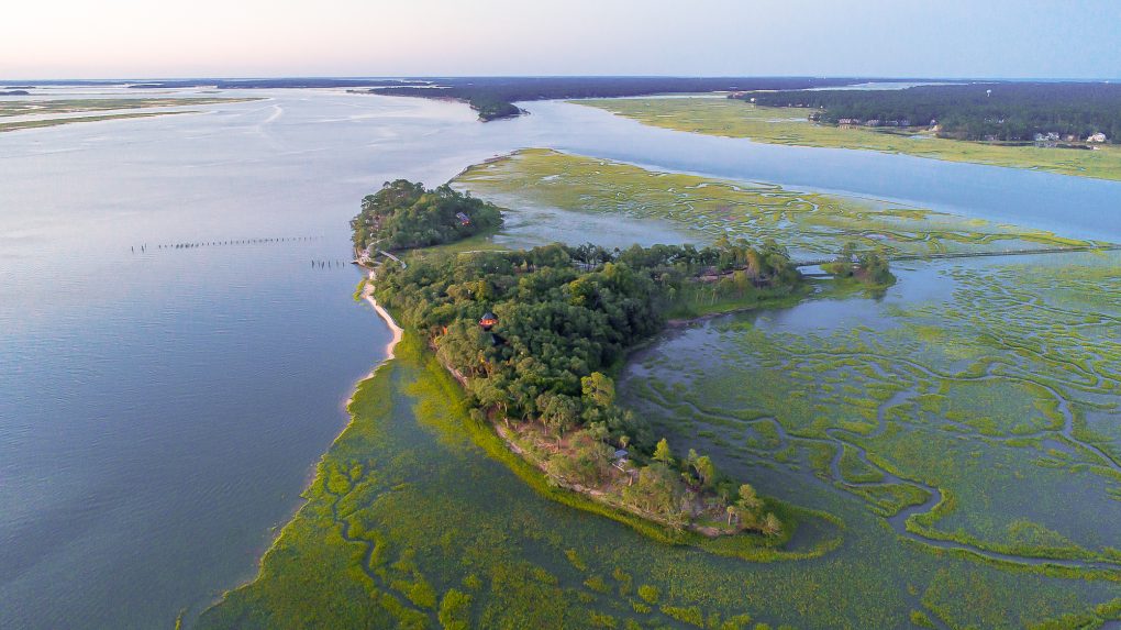 Buck IslandIslet · 2.0 mi
 Castlehamilton DemesneForest · 2.4 mi