What is recorded here
No. That is a new exact claim. The facts above do not say when the fort was built, when it stopped being used, or what it was for. They describe a grass-covered ringfort on a low hillock in Derryduff, with a stony scarp, entrance ramp, field-wall cuts and an estimated original diameter of about 40m. Any story must stay inside that: a made place, partly broken open by later walls, still readable as a circle of grass and stone.
On top of a low hillock. Grass covered D-shaped area (dims 20m NW-SE; c. 20m NE-SW) defined by a stony scarp (H 1-1.2m) SW-NW with traces of a stone wall-footing at SW. There is an entrance ramp (Wth 2.4m) at WNW. The monument is truncated by a NW-SE field wall at NE and a NE-SW field wall at SW, but the original diameter was c. 40m. A collapsed stone field wall (LE001- 040002-) extends NW (L 20m; Wth 2.4m; H 0.4m) from the perimeter at SW.
The above description is derived from 'The Archaeological Inventory of County Leitrim' compiled by Michael J. Moore (Dublin: Stationery Office, 2003). In certain instances the entries have been revised and updated in the light of recent research.
Date of upload: 23 September 2008
The monument record does not grant public access. Check the route and ask the landowner before entering private land.
- What survives
- Recorded monument
Places near here
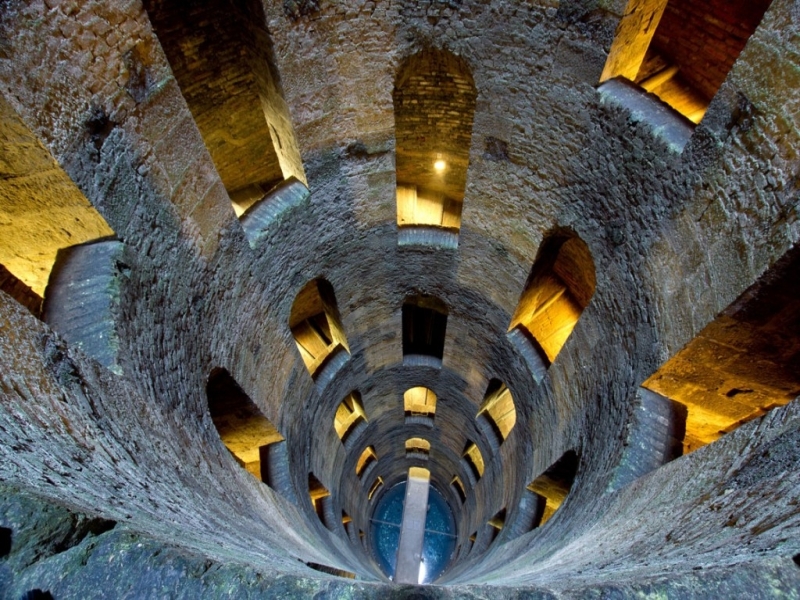 St. Patricks WellHoly well · 808 yd
 IndicatedHoly well · 1067 yd
 Giant's GraveArchaeological place · 1.2 mi
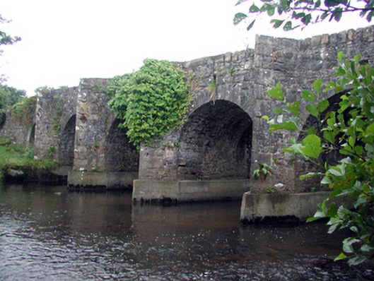 Mary's Bridgebridge · 1.4 mi
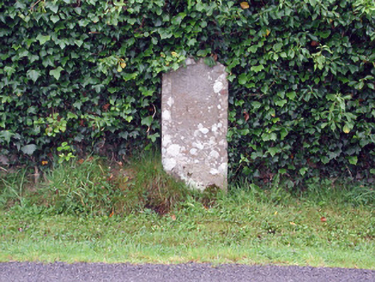 milestone/milepostmilestone/milepost · 1.5 mi
 Bawn in DuncarbryBawn · 1.9 mi
 Bundrowes Castle (Site of)Castle, unclassified · 2.3 mi
 Creevykeel Court TombNeolithic court tomb · 2.8 mi
 assassination of Louis Mountbatten, 1st Earl Mountbatten of Burmaassassination · 3.2 mi
 Unbaptised Children MonumentMemorial · 3.3 mi
 Classiebawn WoodsWood · 3.5 mi
 Cormac Reagh's HoleCave · 3.6 mi