What is recorded here
Situated on a slight natural rise in very gently undulating land of good pasture, with bog land 200m to the W. A slightly raised roughly D-shaped area (diam. 47.2m) with straight side at E enclosed by a low earthen bank (Wth 5.1m) which is almost completely denuded from SSE-S-SW. Elsewhere several modern disturbance gaps are visible, although a gap at N may represent the entrance. A shallow external fosse is visible at N. The bank and part of the interior have been quarried away at SW. The interior contains slight traces of cultivation ridges, as well as an L-shaped bank of unknown significance.
Compiled by: Frank Coyne & Caimin O'Brien
Date of upload: 13 December 2016
The monument record does not grant public access. Check the route and ask the landowner before entering private land.
- What survives
- Recorded monument
Places near here
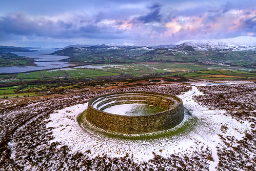 Ancient Ring FortArchaeological place · 3 yd
 Silver FirSilver Fir · 971 yd
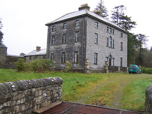 Newpass Housecountry house · 989 yd
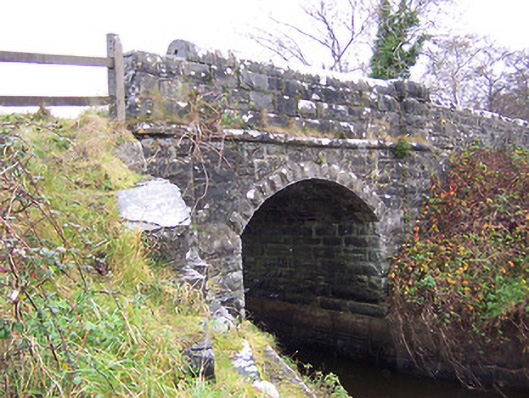 New Bridgebridge · 1555 yd
 Sweet ChestnutSweet Chestnut · 1.1 mi
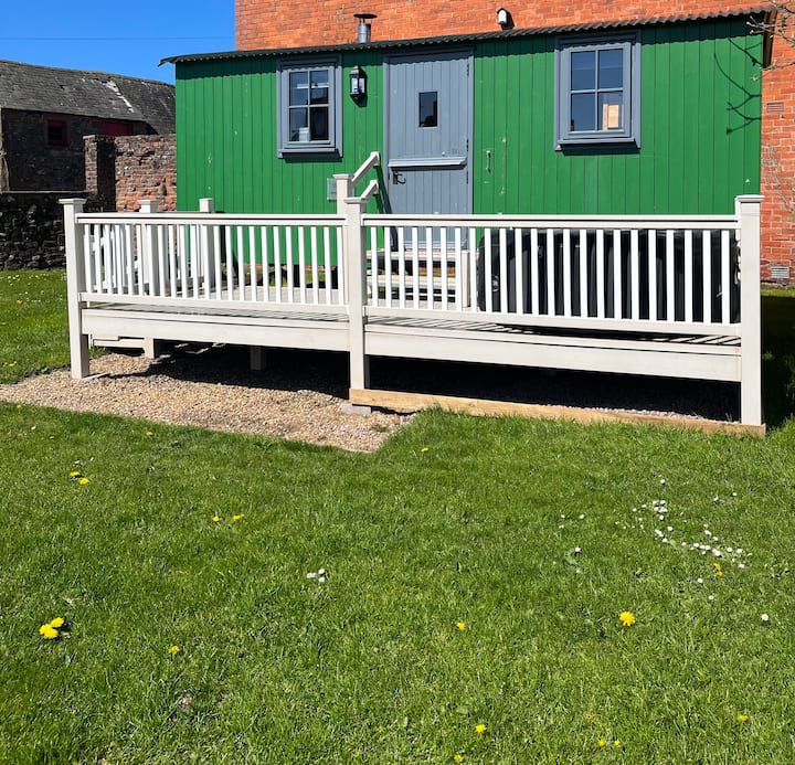 Hut site in ClonaboyHut site · 1.1 mi
 Site of CastleCastle, unclassified · 1.6 mi
 MoatCastle, motte · 2.0 mi
 Edgeworthstown BypassMemorial · 3.1 mi
 Granard MotteMotte-and-bailey castle remains · 8.5 mi
 1798 Monumentmonument · 8.6 mi
 Saint Mel's CathedralCathedral · 11 mi