What is recorded here
Fairy forts are not evidence of fairy kingdoms. They are ordinary human settlements from centuries ago, misnamed because people stopped understanding them. In Derrycassan, a field drain now cuts through the ring, reducing ancient boundary work to modern farm management. The fairies appear only when human memory fades.
On the lower SSW-facing slope of a drumlin ridge. A raised circular area (diam. c. 26m) enclosed by a low bank of earth and stone (Wth c. 4.5m; H 0.6m) with a shallow external fosse (Wth 2.5-3.5m; D 0.3-1.1m) which has been modified and incorporated into a field-drainage system. It is divided into unequal portions by a NE-SW field bank and drain. The smaller portion, to the ESE, has been levelled, though its outline may still be traced. The original entrance is not recognisable.
Compiled by: Patrick F. O'Donovan
Date of upload: 26 August 2011
The monument record does not grant public access. Check the route and ask the landowner before entering private land.
- What survives
- Recorded monument
Places near here
 Derrycassan WoodsWood · 863 yd
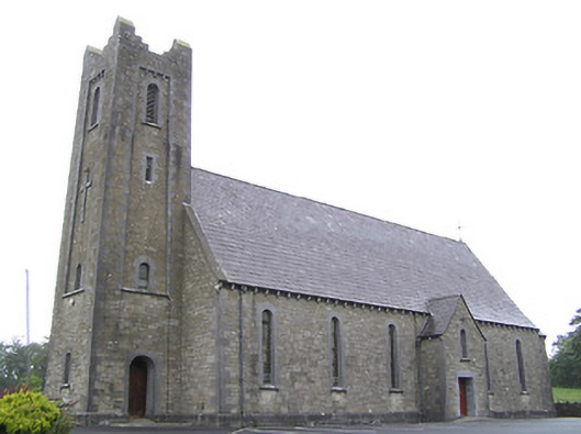 Saint Columba's Catholic Churchchurch/chapel · 1278 yd
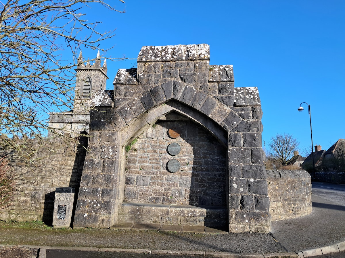 Enclosure in Cloonagh (granard By.)Enclosure · 1328 yd
 Dunclá or Black Pigs RaceArchaeological place · 1358 yd
 St. Columbas R.C. ChurchChurch · 1.0 mi
 InchmoreIslet · 1.4 mi
 ToomeMountain / peak · 2.2 mi
 Cornamucklagh WoodlandWood · 2.7 mi
 CartronfreeMountain / peak · 3.0 mi
 Cloone Ho.Castle, unclassified · 3.1 mi
 Scrabby IslandIslet · 3.1 mi
 BawnBawn · 3.1 mi