What is recorded here
Fairy forts are human places misnamed because people stopped remembering they were human. Derrycassan still shows an oval bank and shallow ditch, though much has been levelled and the entrance has vanished. The steep internal slope suggests a lived space, not a decorative mound. The fairies inherit what forgetfulness abandons.
Marked 'Fort' on OS 1836 and 1876 eds. A slightly raised, formerly oval-shaped area enclosed by a substantial bank and a wide, shallow fosse from NNW-E-SE. Elsewhere, site has been largely levelled. Original entrance not recognisable. Internal area slopes quite steeply from NE-SW.
The above description is derived from the published 'Archaeological Inventory of County Cavan' (Dublin: Stationery Office, 1995). In certain instances the entries have been revised and updated in the light of recent research.
Date of upload/revision: 22 December 2008
A fairy fort or earthen ringfort in Derrycassan, likely dating to the early medieval period, is marked as a 'Fort' on Ordnance Survey maps from 1836 and 1876. The site features a raised, formerly oval enclosure with a bank and fosse, and though largely levelled, it retains folklore associations with fairies and ancient habitation.
The monument record does not grant public access. Check the route and ask the landowner before entering private land.
- What survives
- Recorded monument
Places near here
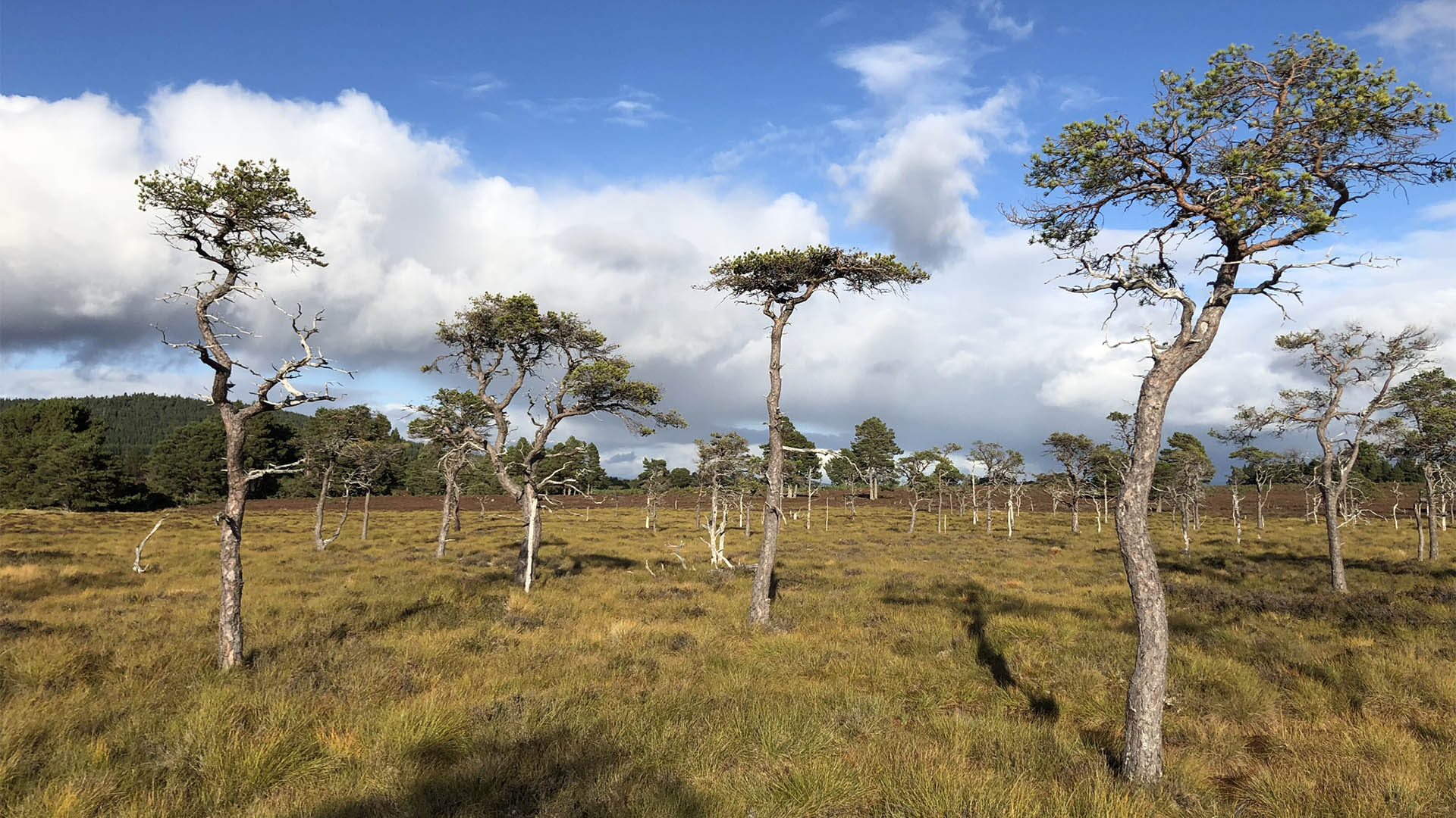 Derrycassan Bog WoodlandWood · 576 yd
 DerrynigginMountain / peak · 1752 yd
 Ballyconnell Log CabinsForest · 1.1 mi
 ToberlyanHoly well · 1.2 mi
 Derryragh FortHilltop enclosure · 1.3 mi
 IndicatedCastle, tower house · 1.3 mi
 CastleCastle, ringwork · 1.6 mi
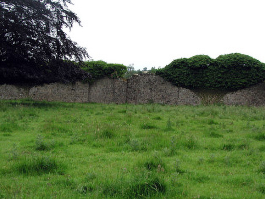 Woodfordwalled garden · 1.6 mi
 Giants GraveArchaeological place · 1.6 mi
 Saint Patrick's Catholic Churchchurch/chapel · 1.6 mi
 Bellaheady MountainMountain / peak · 2.0 mi
 Killycluggin StoneVisitor information · 2.1 mi