What is recorded here
Magic and life are entangled there. You can still see the fort, but human tools and camera lenses no longer fit the place. The chamber is not a building. It is a living edge where human and fairy worlds touch.
Situated on SSW slope of a high drumlin ridge overlooking Derrycassan Lough c. 40m to S. Raised oval area (int. dims. 38.3m E-W; c. 28m N-S) enclosed by an earthen bank which is substantial from W-N-E and more poorly defined elsewhere, and a wide, deep fosse. At E the perimeter has been defaced as a result of the erection of a field boundary. An earlier report (OPW 1969) noted that the original entrance was at E.
The above description is derived from the published 'Archaeological Inventory of County Cavan' (Dublin: Stationery Office, 1995). In certain instances the entries have been revised and updated in the light of recent research.
Date of upload/revision: 22 December 2008
The monument record does not grant public access. Check the route and ask the landowner before entering private land.
- What survives
- Recorded monument
Places near here
 DerrynigginMountain / peak · 965 yd
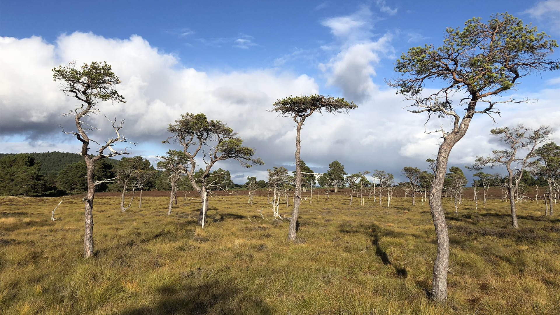 Derrycassan Bog WoodlandWood · 1167 yd
 IndicatedCastle, tower house · 1690 yd
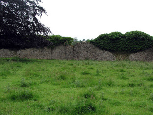 Woodfordwalled garden · 1.1 mi
 CastleCastle, ringwork · 1.1 mi
 Black PoplarBlack Poplar · 1.2 mi
 Derryragh FortHilltop enclosure · 1.2 mi
 Moyagh ChurchChurch · 1.3 mi
 Giants GraveArchaeological place · 1.5 mi
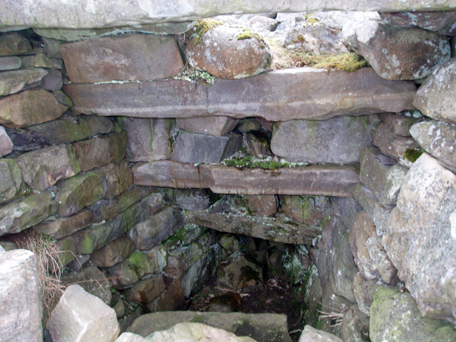 Outlined, Corn KilnEnclosure · 1.5 mi
 Cherry IslandIslet · 1.8 mi
 Crane IslandIslet · 1.8 mi