What is recorded here
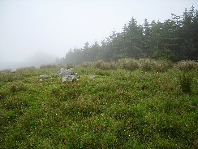
Fairy forts are often called forts because people once built them as forts, and this one in Derrycarhoon still keeps its shape: a circular raised area about twenty metres across, with a low earthen scarps and a stone wall along part of the top. It sits on an east-facing slope in pasture, close enough to the sky and fields to feel like a room the land forgot to close. The fairies may have taken it back later, but the shape says human hands made it first.
In pasture, on break in E-facing slope. Circular raised area (diam. 20.1m) defined by scarp (H 1.3m), with rock outcrop visible to N and W. Stone wall atop scarp NNW->NNE. Cultivation ridges cross interior on NNW-SSE axis.
The above description is derived from the published 'Archaeological Inventory of County Cork. Volume 1: West Cork' (Dublin: Stationery Office, 1992). In certain instances the entries have been revised and updated in the light of recent research.
Date of upload/revision: 14 January 2009
The monument record does not grant public access. Check the route and ask the landowner before entering private land.
- What survives
- Recorded monument
Places near here
 IndicatedMine, copper · 765 yd
 Derrylahard EastMountain / peak · 1.0 mi
 Barnageehy Loop WalkWalking route · 1.2 mi
 Parknakilla Childrens Burial GdBurial ground · 1.3 mi
 Man-made underground passage in SparrogradaMan-made underground passage · 1.3 mi
 KnockaphukeenMountain / peak · 1.4 mi
 farm housefarm house · 1.4 mi
 Scart Castle (Site of)Castle, unclassified · 3.1 mi
 Danno O’Mahony statueMemorial · 3.1 mi
 Ballydehob's 3-Arch Road BridgeVisitor information · 3.1 mi
 Ballydehob Railway StationVisitor information · 3.1 mi
 Coomkeen Loop WalkWalking route · 4.4 mi