What is recorded here
Derry (longford By.) holds a 36m circular enclosure that people still call a lios, though grass and trees have worn its edges into a gentle rise. It may have begun as a rath, a place for living or defending, before becoming the kind of marker that shapes a field rather than resisting it. Another possible rath lay 40m to the NW, suggesting a small cluster of occupied ground now reduced to two shadows in the landscape.
In undulating grassland. Known locally as a ‘lios’, this very poorly preserved circular enclosure (diam. 36m) is defined by a tree-lined rise. Possibly a rath that was reused as a landscape feature. Another possible rath (GA108-063----) lay c. 40m to the NW.
Compiled by: Galway Archaeological Survey, UCG
Date of upload: 4 March 2019
The monument record does not grant public access. Check the route and ask the landowner before entering private land.
- What survives
- Recorded monument
Places near here
 Enclosure in Derry (longford By.)Enclosure · 409 yd
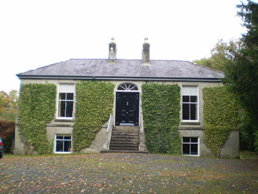 Derryormondehouse · 457 yd
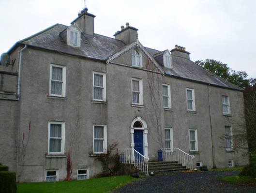 Prospecthouse · 477 yd
 KnockaunnabastyArchaeological place · 828 yd
 Lismore CastleCastle, tower house · 2.1 mi
 CastleCastle, unclassified · 2.2 mi
 Friars IslandIsland · 2.3 mi
 Killeen's IslandIsland · 2.4 mi
 MeelickVisitor information · 2.6 mi
 Redmond HillMountain / peak · 2.7 mi
 Silver FirSilver Fir · 3.7 mi
 Cregg WoodForest · 4.0 mi