What is recorded here
Fairy fort is a shallow earthen ring in undulating Galway grassland, measured at about thirty-seven metres across and still visible only through a tree-lined scarp. It may have begun as a rath, then faded into a boundary marker or sacred edge before people stopped naming it plainly. The grass and shadows have done most of the building since, shaping a place where human life and fairy story become hard to separate.
In undulating grassland. Known locally as a ‘lios’, this very poorly preserved almost circular enclosure (37.5m N-S; 36m E-W) is defined by a tree-lined scarp. Possibly a rath that was reused as a landscape feature.
Compiled by: Galway Archaeological Survey, UCG
Date of upload: 4 March 2019
The monument record does not grant public access. Check the route and ask the landowner before entering private land.
- What survives
- Recorded monument
Places near here
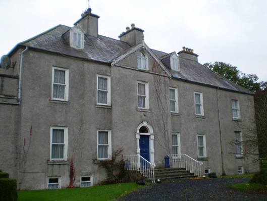 Prospecthouse · 380 yd
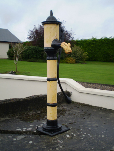 water pumpwater pump · 482 yd
 Enclosure in Derry (longford By.)Enclosure · 497 yd
 KnockaunnabastyArchaeological place · 655 yd
 Lismore CastleCastle, tower house · 2.0 mi
 CastleCastle, unclassified · 2.1 mi
 Friars IslandIsland · 2.3 mi
 Killeen's IslandIsland · 2.3 mi
 MeelickVisitor information · 2.5 mi
 Redmond HillMountain / peak · 2.6 mi
 Silver FirSilver Fir · 3.6 mi
 European ashEuropean ash · 3.9 mi