What is recorded here
Derreendangan holds a broad earthen ring on a drumlin summit, preserving a man-made passage beneath its centre. The bank rises two metres on the outside and drops to twenty centimetres inside, shaping a shallow bowl around the hidden way. People may have walked that dark passage during storms or festivals, using the solid ground above to mark the edge of the unknown.
In tillage, enclosing summit of drumlin. Circular area (56m N-S; 58m E-W) enclosed by earthen bank; raised on outer edge (int. H 0.2m; ext. H 2m) to counteract slope; break to E (Wth 4.6m). Interior slopes up to summit of drumlin; Man-made underground passage (CO141-031002-) in centre.
The above description is derived from the published 'Archaeological Inventory of County Cork. Volume 1: West Cork' (Dublin: Stationery Office, 1992). In certain instances the entries have been revised and updated in the light of recent research.
Date of upload/revision: 14 January 2009
The monument record does not grant public access. Check the route and ask the landowner before entering private land.
- What survives
- Recorded monument
Places near here
 Man-made underground passage (Site of)Man-made underground passage · 1 yd
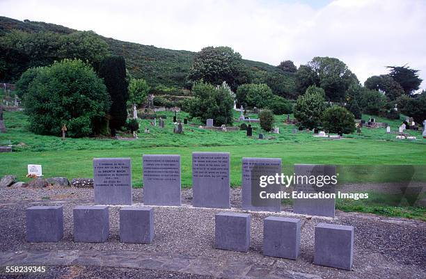 Man-made underground passage in AbbeystrowryMan-made underground passage · 563 yd
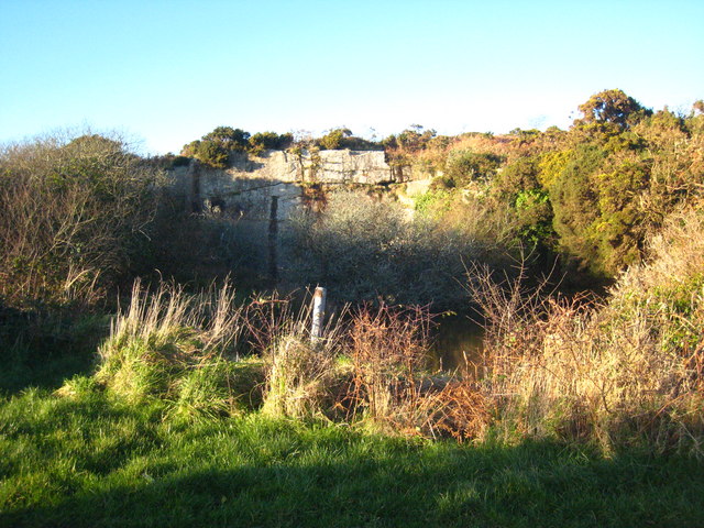 Quarry in Curragh (carbery West (w.d.) By.)Quarry · 1079 yd
 Ilen Househouse · 1184 yd
 Heritage CentreMuseum · 1684 yd
 Bishop MahonyMemorial · 1.1 mi
 Coolngrane Fairy FortFort · 1.3 mi
 Wild Atlantic WayVisitor information · 1.5 mi
 Site of CastleCastle, unclassified · 1.8 mi
 Irish Sky GardenHeritage attraction · 2.7 mi
 Monterey CypressMonterey Cypress · 3.2 mi
 Giant's GraveArchaeological place · 4.0 mi