What is recorded here
Half a kilometre from the last house, two earthen rings still hold their shape on the drumlin slope, the outer bank broken and the inner gap narrowed to a causeway no wider than a outstretched arm. The stream curves past like it has been avoiding the fort for centuries, and the field drain has swallowed part of the ditch without weakening the circle. People may have entered through the southern gap or the northern causeway, carried water from the bend, and left the fort behind when the land changed. It does not need a name or owner to keep its shape; it only waits for someone to walk the ring and remember that ordinary fields can still contain excluded places.
Situated towards the bottom of the NE-facing slope of a drumlin, with a NW-SE stream curving around it NE-S c. 35-40m distant. This is a circular overgrown area (diam. 41.6m NNW-SSE; 38m ENE-WSW) defined by the remains of two earthen banks with an intervening fosse. The outer bank is visible only at N, and the fosse is incorporated in a field drain at W-NW. There is an entrance gap at S (Wth of base 2.5m) and another through the inner bank at N (Wth of base 1.1m) with a causeway (Wth of top 2.2m; H 0.45m) across the fosse, and it might be the original entrance.
The above description is derived from the published 'Archaeological Inventory of County Monaghan' (Dublin: Stationery Office, 1986). In certain instances the entries have been revised and updated in the light of recent research.
Date of revision: 25 July 2017
The monument record does not grant public access. Check the route and ask the landowner before entering private land.
- What survives
- Recorded monument
Places near here
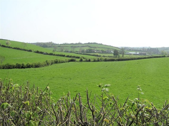 IndicatedFairy fort / earthen ringfort · 855 yd
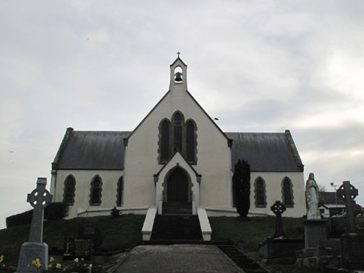 Saint Patrick's Catholic Churchchurch/chapel · 1690 yd
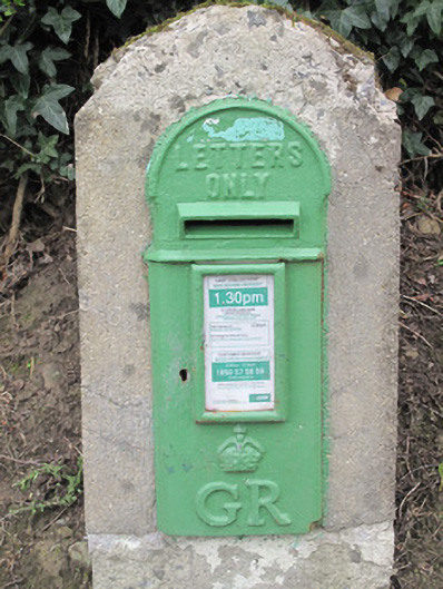 post boxpost box · 1744 yd
 Fairy fort / earthen ringfort in AghadrumcruFairy fort / earthen ringfort · 1.2 mi
 St. Muadain's WellSpring · 1.4 mi
 Coolberrin HillMountain / peak · 1.9 mi
 Derrygorry WoodForest · 2.0 mi
 Latten WoodForest · 2.2 mi
 RAVELLA CASTLE:HOUSE AND BAWN in RavellaRAVELLA CASTLE:HOUSE AND BAWN · 2.3 mi
 Saint Patrick's ChairNamed rock · 2.5 mi
 MEDIEVAL CHURCH & GRAVEYARD: AGHALOO CHURCH in RouskyMEDIEVAL CHURCH & GRAVEYARD: AGHALOO CHURCH · 3.8 mi
 Sliabh Beagh WayWalking route · 3.9 mi