What is recorded here
Deramfield holds a vanished ringfort where a low earth bank and shallow ditch once encircled a broad oval measure of fifty-four by fifty-two metres. Farmers or developers erased much of the shape, but the outline still emerges when rain darkens the soil or a hand scrapes back grass. The entrance likely faced south-south-east, inviting people into a space now reduced to a faint ridge and memory. What was built there has been taken back by fields, yet the circle resists forgetting.
An earlier description (OPW 1968) described a raised circular area (int. dims. 54m NNE-SSW; 52m ESE-WNW) enclosed by a low bank of earth and stone and a wide, shallow fosse. Original entrance was probably at SSE. Although site has been levelled its outline may still be traced.
The above description is derived from the published 'Archaeological Inventory of County Cavan' (Dublin: Stationery Office, 1995). In certain instances the entries have been revised and updated in the light of recent research.
Date of upload/revision: 22 December 2008
A fairy fort / earthen ringfort in Deramfield is a circular early-medieval defensive or domestic site, likely dating to between the 5th and 10th centuries AD. Local tradition associates such sites with the faé or other supernatural beings, and they were often avoided or revered in rural folklore.
The monument record does not grant public access. Check the route and ask the landowner before entering private land.
- What survives
- Recorded monument
Places near here
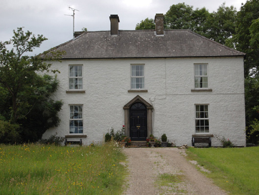 Lake View Househouse · 224 yd
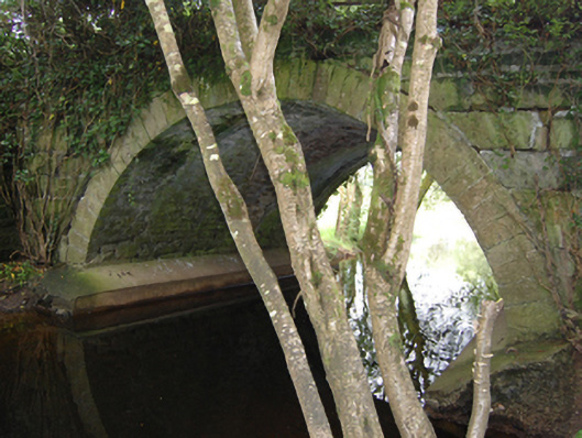 Historic buildingOfficially recorded historic building · 624 yd
 Holy well in EonishHoly well · 976 yd
 TobermogueHoly well · 1.1 mi
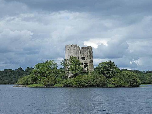 Cloughoughter CastleIsland castle ruin · 1.5 mi
 Clogh Oughter CastleCastle, Anglo-Norman masonry castle · 1.5 mi
 Castlehamilton DemesneForest · 1.5 mi
 Woodenhouse BayBay · 1.5 mi
 Derinish MoreMountain / peak · 1.6 mi
 DerrybrickMountain / peak · 1.6 mi
 Pedunculate OakPedunculate Oak · 1.6 mi
 IndicatedCastle, unclassified · 1.6 mi