What is recorded here
Deerpark holds a vanished chamber. The fort is gone, the land is gone, the name is half-gone. What remains is a room in the world that has stopped answering, and the absence is the shape.
On a low ridge in pasture. A raised subcircular area (c. 44m N-S; c. 37m E-W) defined by a scarp (H 0.3-0.4m). A report in 1976 (SMR file) recorded a wide shallow external fosse, which has since been infilled. The original entrance is not recognisable.
Compiled by: Patrick F. O'Donovan
Date of upload: 3 December 2011
The monument record does not grant public access. Check the route and ask the landowner before entering private land.
- What survives
- Recorded monument
Places near here
 Hachured fortFairy fort / earthen ringfort · 318 yd
 Field system in Deerpark (shrule By.)Field system · 1193 yd
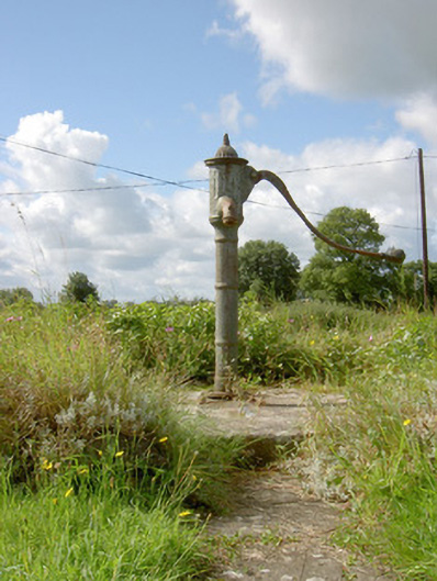 water pumpwater pump · 1255 yd
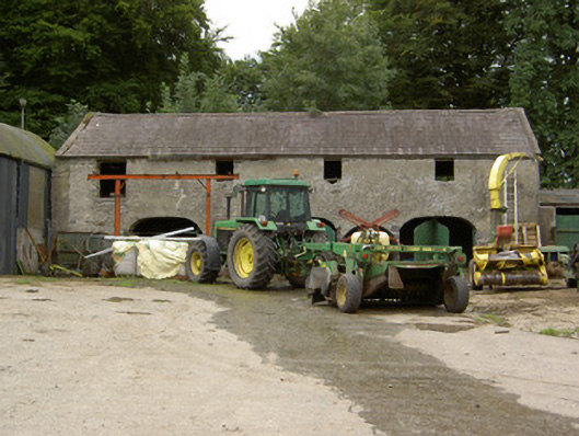 Tully Houseoutbuilding · 1293 yd
 CastleCastle, motte · 1.1 mi
 European BeechEuropean Beech · 1.6 mi
 Not locatedCastle, unclassified · 1.9 mi
 Pedunculate OakPedunculate Oak · 2.0 mi
 Abbeyshrule AbbeyRuins · 2.8 mi
 Goldsmith Birthplace, PallasVisitor information · 3.8 mi
 Newcastle WoodsForest · 4.1 mi
 Guest ServicesVisitor information · 4.5 mi