What is recorded here
Fairy fort in Dawsonsdemesne, County Louth: a circular earthen platform, 16m east-west and 14m north-south, rising 1.4m, with a ramp entrance at the south-east. The south-west segment has been quarried into in modern times. People may have lived there, marked territory, or simply shaped the land for shelter and pride. The fairies, according to local story, took the rest.
The following description is derived from both the published 'Archaeological Inventory of County Louth' (Dublin: Stationery Office, 1986) and the 'Archaeological Survey of County Louth' (Dublin: Stationery Office, 1991). In certain instances the entries have been revised and updated in the light of recent research.
Date of upload/revision: 17 July 2007
Originally a circular platform (max. dims. 16m E-W, 14m N-S, H 1.4m) with ramp entrance at SE. SW segment of the site quarried into in modern times.
The monument record does not grant public access. Check the route and ask the landowner before entering private land.
- What survives
- Recorded monument
Places near here
 Dawsons MoatCastle, motte and bailey · 160 yd
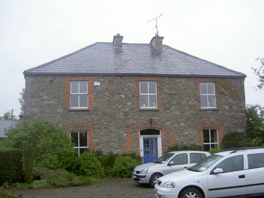 Greenvale Housemill manager's house · 535 yd
 Fulacht fia in BroadloughFulacht fia · 538 yd
 Fulacht fia in CappocksgreenFulacht fia · 542 yd
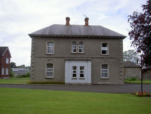 presbytery/parochial/curate's housepresbytery/parochial/curate's house · 804 yd
 CastleCastle, tower house · 1087 yd
 Sir Frederick Foster MemorialMemorial · 1317 yd
 Graveyard in StickillinGraveyard · 1552 yd
 European White ElmEuropean White Elm · 1654 yd
 Lebanon CedarLebanon Cedar · 1.1 mi
 Screedoge HillMountain / peak · 3.0 mi
 Mount OrielMountain / peak · 4.5 mi