
What is recorded here
Discovered prior to road construction (Excavation Licence No. 99E0458). Situated to the W of the River Dee. Consisted of an arc of burnt stones and charcoal-rich soil (max. L 6.6m; max. Wth 2.3m). Within this arc was a sub-rectangular concentration (1.15m x 0.75m) of similar material. Both deposits were no more than 0.8m in thickness. Excavation revealed a possible hearth below the sub-rectangular concentration but there was no evidence of a trough. The only artefact recovered was a waste flint flake from the arc of burnt material. (Seaver 2000, 188)
Compiled by: Claire Breen
Date of upload: 29 June 2012
The monument record does not grant public access. Check the route and ask the landowner before entering private land.
- What survives
- Recorded monument
Places near here
 Fulacht fia in BroadloughFulacht fia · 204 yd
 Man-made underground passage in BroadloughMan-made underground passage · 204 yd
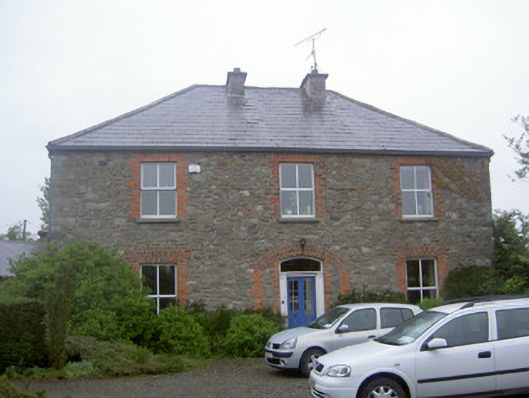 Greenvale Housemill manager's house · 357 yd
 Dawsons MoatCastle, motte and bailey · 430 yd
 The LissCastle, motte · 839 yd
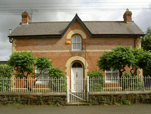 Ardee Railway Stationstation master's house · 957 yd
 Sir Frederick Foster MemorialMemorial · 1199 yd
 Lebanon CedarLebanon Cedar · 1483 yd
 European BeechEuropean Beech · 1567 yd
 Graveyard in StickillinGraveyard · 1651 yd
 Mount OrielMountain / peak · 4.8 mi
 Black HillMountain / peak · 5.7 mi
Other information
Photo: Credit not shown in the picture search · Rights wording not checked; contact us if this picture should be removed