What is recorded here
Fairy fort / earthen ringfort in Dangansallagh is a fairy fort or earthen ringfort in Dangansallagh, County Tipperary, Ireland. The circular outline measures 29 metres north-south and 30 metres east-west on a low hillock. Traces of a scarp, fosse and outer bank remain, though the outer bank is visible only at the west. A possible moated site lies about 80 metres west-southwest.
Situated on a low hillock on a N-S ridge which slopes to the SE in undulating pastureland. Indicated as a large, roughly circular enclosure on the 1st ed. (1840) OS 6-inch map, however on the current (1901-05) edition only the S half is hachured while the N half appears to have been replaced by a field boundary. Although levelled, the circular outline is still discernible (diam. 29m N-S; 30m E-W) with traces of a scarp (H 0.56m), a fosse (Wth 2.6m; D 0.7m) and an outer bank only visible at W (Wth 2.1m; ext. H 0.55m). A semicircular or L-shaped bank (Wth 1.7m) in the interior in the NE sector may be the remnant of a later field boundary. A possible moated site (TN017-091----) is located c. 80m to the WSW.
The above description is derived from 'The Archaeological Inventory of County Tipperary. Vol. 1 - North Tipperary' compiled by Jean Farrelly and Caimin O'Brien (Dublin: Stationery Office, 2002). In certain instances the entries have been revised and updated in the light of recent research.
Date of upload/revision: 22 September 2008
The monument record does not grant public access. Check the route and ask the landowner before entering private land.
- What survives
- Recorded monument
Places near here
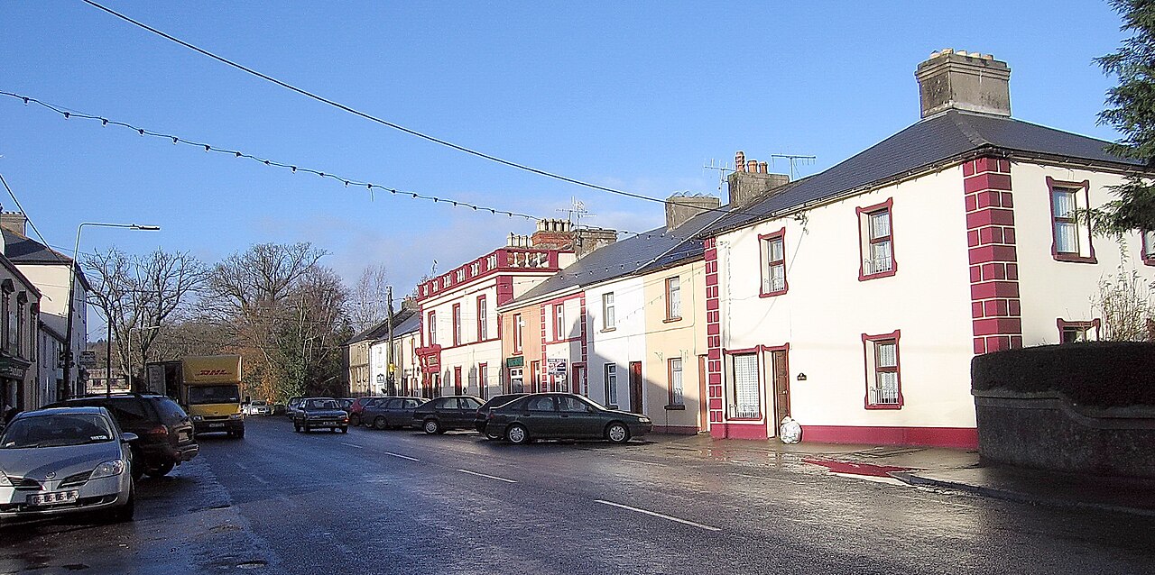 IndicatedEnclosure · 613 yd
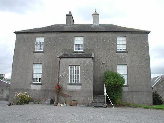 rectory/glebe/vicarage/curate's houserectory/glebe/vicarage/curate's house · 630 yd
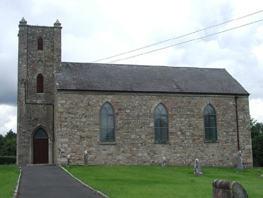 Saint Burchin's Church (Bourney)church/chapel · 798 yd
 OutlinedCastle, Anglo-Norman masonry castle · 1701 yd
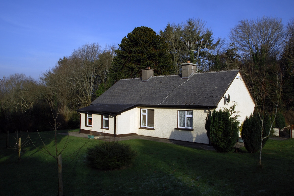 Habitation site in Ballyslea,boola (bourney Par.)Habitation site · 1.2 mi
 Castle (in ruins)House, fortified house · 1.5 mi
 Longford WoodForest · 2.0 mi
 Black HillMountain / peak · 3.4 mi
 Carricknasrock WoodWood · 3.8 mi
 Roscrea Petty Sessions HouseHeritage attraction · 4.2 mi
 BenduffMountain / peak · 4.5 mi
 Millennium GardenMemorial · 5.2 mi