What is recorded here
Fairy forts are often just forgotten farm boundaries or abandoned dwellings, but the name still carries a warning. In Danganbeg, that warning vanished beneath brick and mortar. The circular earthwork measured twenty-five metres across on the 1924 map, yet farm buildings now occupy the space where its bank should rise. The transformation from ancient boundary to modern utility happened so completely that even memory cannot find the line. What was marked as otherworldly became ordinary through forgetfulness, then invisible through construction. The land absorbed the distinction between human and fairy, between history and horizon.
Monument, depicted as embanked circular enclosure (diam. c. 25m) on 1924 OS 6-inch map, is no longer apparent in area now occupied by farm buildings.
Compiled by: Denis Power
Date of upload: 26 August 2011
The monument record does not grant public access. Check the route and ask the landowner before entering private land.
- What survives
- Recorded monument
Places near here
 Castle MahonCastle · 1.1 mi
 Mahoonagh Church (in ruins)Church · 1.2 mi
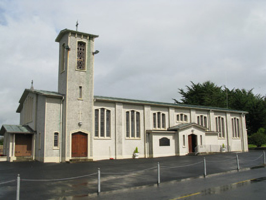 Catholic Church of Saint John the Baptistchurch/chapel · 1.3 mi
 TobermurryHoly well · 1.5 mi
 Enclosure in Mahoonagh BegEnclosure · 1.5 mi
 Mayne Ho.Castle, unclassified · 2.2 mi
 Garbally WellSpring · 2.9 mi
 Saint Ite's WellSpring · 3.5 mi
 Ballagh MountainMountain / peak · 4.5 mi
 National Co-op MuseumMuseum · 6.4 mi
 Limerick GreenwayWalking route · 6.6 mi
 Mullaghareirk - Banane LoopWalking route · 7.1 mi