
What is recorded here
Mound and ditch still mark the fairy fort in Danestown, though no wall or roof remains to explain why the earth was shaped. The oval bank stretches forty-one metres and the outer ridge reaches eighty-two, large enough for a whole neighbourhood to have lived, argued and buried its dead inside. The southwestern causeway still points toward the road, inviting entry into a place that has stopped answering.
The following description is derived from the published 'Archaeological Inventory of County Meath' (Dublin: Stationery Office, 1987). In certain instances the entries have been revised and updated in the light of recent research.
Date of upload/revision: 10 July 2007
Raised oval area defined by remains of earthen bank (dims. 41m ENE-WSW, 34m NNW-SSE) with external fosse and outer bank (max. ext. dim. 82m ENE-WSW). . Entrance and causeway at SW.
The monument record does not grant public access. Check the route and ask the landowner before entering private land.
- What survives
- Recorded monument
Places near here
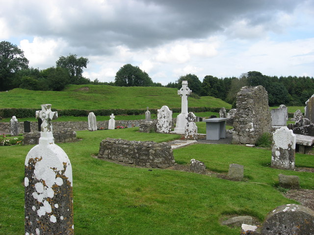 RuinChurch · 105 yd
 Saint Mary's Church (Kentstown)church/chapel · 440 yd
 European ashEuropean ash · 780 yd
 Font (present location) in KentstownFont (present location) · 848 yd
 Enclosure in BurtonstownEnclosure · 1180 yd
 European BeechEuropean Beech · 1208 yd
 CastleCastle, tower house · 1.6 mi
 Site of Old CastleCastle, unclassified · 2.2 mi
 Candle HillMountain / peak · 2.7 mi
 Carn HillMountain / peak · 4.5 mi
 PuddenhillHeritage attraction · 4.5 mi
 Hill of TaraVisitor information · 4.6 mi
Other information
Photo: C O'Flanagan · CC BY-SA 2.0