
What is recorded here
Situated on a slight N-facing slope. The cropmark of a circular enclosure (diam. c. 30m N-S; c. 28m E-W) defined by a single ditch (Wth c. 1-2m) is visible on Apple Maps (2018). The enclosure is cut by two ENE-WSW ditches (Wth c. 1m; c. 3m) that converge further W and are not represented on any map. However, the cropmark of a NW-SE field drain c. 5m to the SW of the enclosure is parallel with the field bank surviving c. 25m to the NE of the enclosure. These two features are the boundaries of a wood depicted on the 1836 and 1908 editions of the OS 6-inch map. The enclosure undoubtedly pre-dates the wood, and it was first reported by Jean Charles Caillere.
See the attached enhanced view from Apple Maps (2018)
Compiled by: Michael Moore
Date of upload: 25 June 2021
The monument record does not grant public access. Check the route and ask the landowner before entering private land.
- What survives
- Recorded monument
Places near here
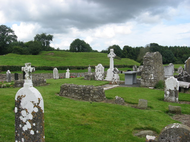 RuinChurch · 1172 yd
 Fairy fort / earthen ringfort in DanestownFairy fort / earthen ringfort · 1180 yd
 Enclosure in FlemingstownEnclosure · 1372 yd
 European BeechEuropean Beech · 1395 yd
 European ashEuropean ash · 1427 yd
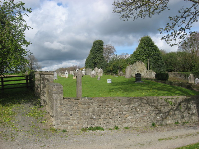 IndicatedChurch · 1502 yd
 CastleCastle, tower house · 2.0 mi
 Candle HillMountain / peak · 2.6 mi
 Site of Old CastleCastle, unclassified · 2.8 mi
 PuddenhillHeritage attraction · 3.9 mi
 Hill of TaraVisitor information · 4.8 mi
 Saint Patrick'sMemorial · 4.9 mi
Other information
Photo: Credit not shown in the picture search · Rights wording not checked; contact us if this picture should be removed