What is recorded here
An earthen ringfort on a hill summit in Damselstown, greenanstown, belongs to the ancient rath tradition where three faint fosses still circle the grass. The outer rings measure eighty-five metres across while the inner chamber spans forty, creating a narrow choke point that may have controlled entry or marked a boundary. The displaced inner fosse suggests the site changed hands or purpose across centuries, adapting rather than disappearing. Such hills hosted people long before written records, and the fort remains a visible claim on the landscape.
Located on the summit of a hill. The parch mark of three slight fosses (int. diam. c. 40m; ext. diam. c. 85m) can be seen on Apple Maps dating from the summer of 2018 on the NE side of a NW-SE roadway. The outer two fosses (Wth c. 1-3m) are concentric and are placed c. 5m apart but the innermost is displaced slightly to the NW. The features are not visible SW of the road but they are visible on OSI images (1995) where a fourth outer fosse is visible NW-N. The monument is difficult to classify but in its siting and morphology it most resembles the visible monument at Tlachta (ME030-001----). It was first reported by Ian Lennon.
See the attached views:
from Apple Maps (2018) _1
from OSAP (1995) _3
Compiled by: Michael Moore
Date of upload: 16 February 2021
The monument record does not grant public access. Check the route and ask the landowner before entering private land.
- What survives
- Recorded monument
Places near here
 Enclosure in Herbertstown (duleek Upper By.)Enclosure · 1341 yd
 Enclosure in RudderEnclosure · 1655 yd
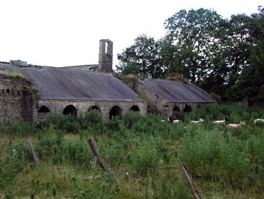 Herbertstown Housefarmyard complex · 1760 yd
 Church in FowlerstownChurch · 1.2 mi
 Tullog WoodForest · 1.4 mi
 FourknocksPassage tomb · 1.5 mi
 Ballshill PlantingForest · 2.0 mi
 Naul Park HouseCastle, unclassified · 2.4 mi
 Bawn in NaulBawn · 2.5 mi
 Seamus Ennis Cultural CentreMemorial · 2.6 mi
 Bun-na-CnoicMemorial · 2.9 mi
 Naul HillMountain / peak · 3.2 mi