What is recorded here
You need a fact, not a story. This is a fairy fort, a small earth-and-grass ring on a knoll near Dalystown Hill. People may have lived there, marked a boundary, or left a hole in the land that imagination later filled. The earth still keeps its shape, but human memory has thinned to whisper.
Situated on a knoll c. 200m ENE of the summit of Dalystown Hill. This was described in 1970 (SMR file) as a subcircular grass-covered area (dims 26.5m N-S; 21.5m E-W) defined by a slight earthen bank largely reduced to a scarp (at E: Wth 3.6m; H 1.6m) with an outer fosse reduced to a berm (at E: Wth 2m) E-SW, but elsewhere the perimeter melded into the natural slope. There was a possible entrance at ENE. The concentric enclosure (ME041-010----) is c. 200m to the WSW, but this rath had been removed by 1995 (OSAP).
The above description is derived from the published 'Archaeological Inventory of County Meath' (Dublin: Stationery Office, 1987). In certain instances the entries have been revised and updated in the light of recent research.
Compiled by: Michael Moore
Date of revision: 9 August 2019
The monument record does not grant public access. Check the route and ask the landowner before entering private land.
- What survives
- Recorded monument
Places near here
 Concentric enclosure in DalystownConcentric enclosure · 228 yd
 Ruinis of Clonee ChurchChurch · 1720 yd
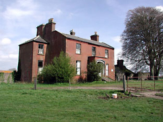 Castlerickard Housecountry house · 1.0 mi
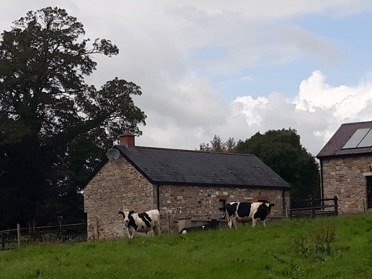 Enclosure in BallymulmoreEnclosure · 1.0 mi
 CastleCastle, motte · 1.4 mi
 Common LimeCommon Lime · 1.7 mi
 European BeechEuropean Beech · 1.7 mi
 Donore CastleCastle · 1.8 mi
 Croppies' GraveMemorial · 6.1 mi
 Cloncurry GraveyardHeritage attraction · 7.4 mi
 Old Bog Road made famous by Teresa Bryton 1868-1943Memorial · 7.9 mi
 Kilgar GardensHeritage attraction · 9.3 mi