What is recorded here
On a N-facing slope in rough pasture in hilly upland terrain. An oval area (diam. 37.6m N--S; 29.6m E-W) enclosed by an earthen and stone bank (Wth 1.7m; basal Wth 3.1m; int. H 0.73-0.87m; ext .H 0.5m). The bank has a high stone content which suggests that the bank may be a collapsed stone wall or have been stone faced. In the N quadrant, where the bank is particularly denuded, the possible internal facing of a wall is visible (Wth c. 1.1m). There is a small oval mound (dims. 2.5m x 3.3m; H 0.35m) in the SE quadrant and some dumping of stones is evident along the outer face of the bank in the SE quadrant. There is no visible evidence of an entrance or external fosse. The external face of the bank in the SW quadrant is abutted by a stone field boundary.
Compiled by: Jean Farrelly
Date of upload: 26 August 2011
The monument record does not grant public access. Check the route and ask the landowner before entering private land.
- What survives
- Recorded monument
Places near here
 Curraleigh MountainMountain / peak · 690 yd
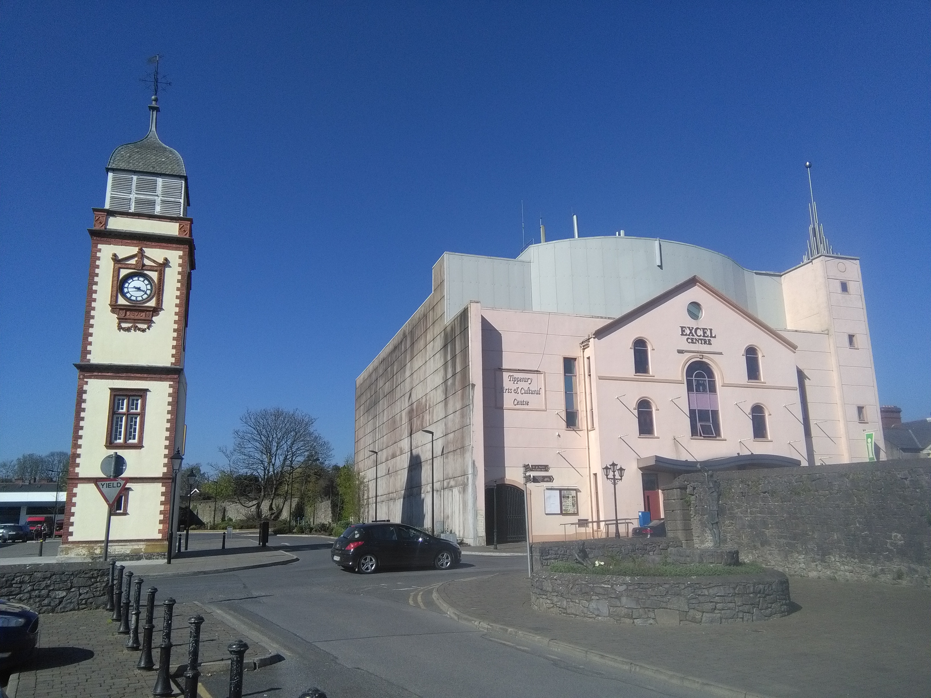 IndicatedHoly well · 753 yd
 Glenduff Bridgebridge · 1240 yd
 Ballywilliam Househouse · 1.1 mi
 CastleCastle, ringwork · 1.1 mi
 Lyrefune HillMountain / peak · 1.4 mi
 Enclosure in NewcastleEnclosure · 2.0 mi
 Site of CastleCastle, unclassified · 2.3 mi
 Ronald Reagan CentreHeritage attraction · 2.3 mi
 Ballard WaterfallWaterfall · 2.4 mi
 Mitchelstown CaveCave · 3.8 mi
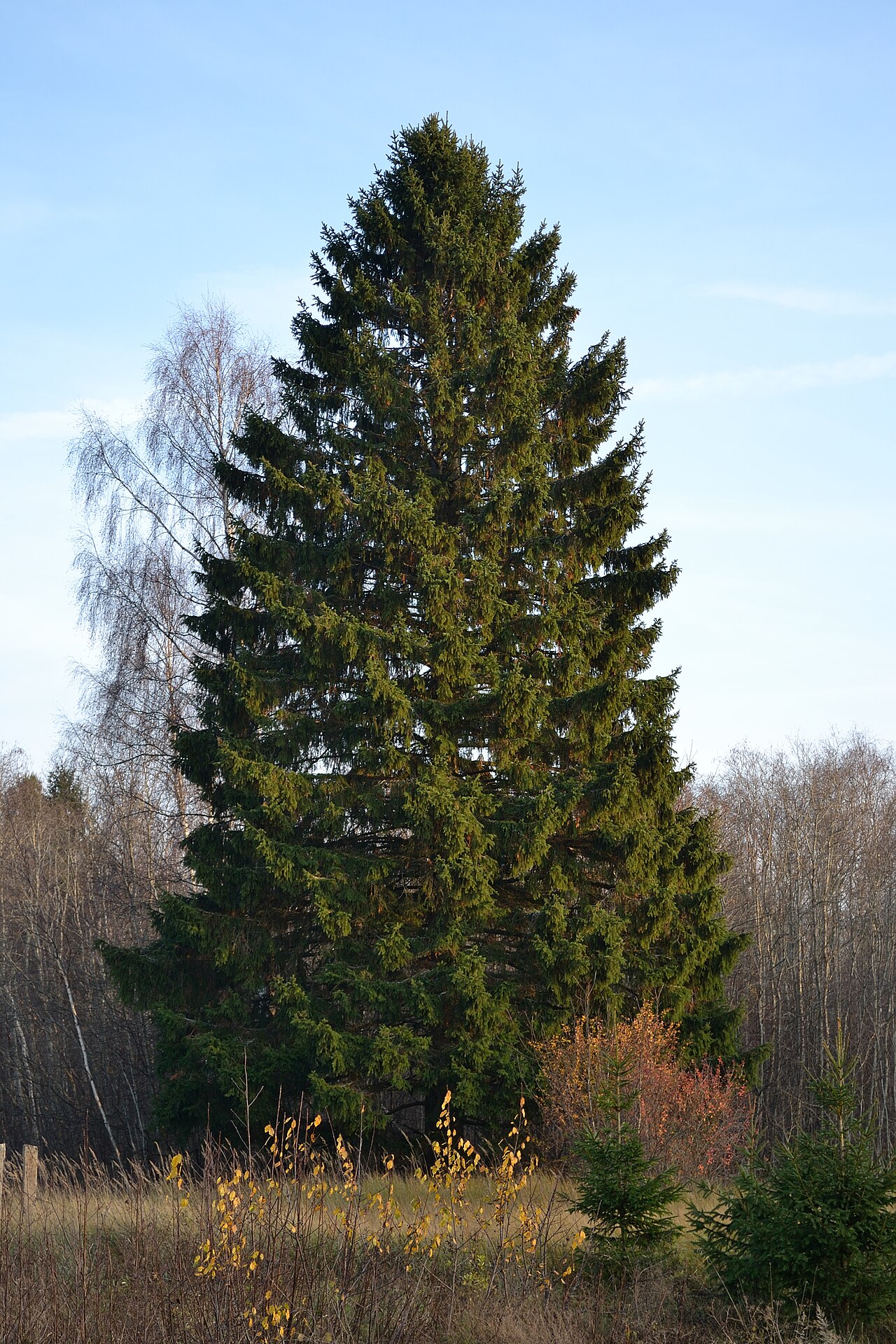 Norway SpruceNorway Spruce · 5.1 mi