What is recorded here
Fairy forts are human ringforts misnamed by later folklore, and Curraheen is a true circular rath: a raised saucer of earth about thirty metres across, cut by ditches and bounded by banks on a north-facing slope. The gaps in its walls mark doors, not decay. People lived there, entered and left, shaped the earth with tools and time. The fairies came later, filling the forgotten house with wonder.
In pasture, on N-facing slope. Circular, saucer-shaped, raised area (31.5m N-S; 30.5m E-W) defined by scarp (H 0.8m); intervening fosse; outer earthen bank (diam. 50m; H 1.3m); external fosse (D 1.2m) and low counterscarp bank. On top of a scarp faint trace of enclosing bank survives as slight internal lip to N and S. Break in scarp (Wth 4m) to NNE. Break in bank to SE (Wth 6.5m) and N. Counterscarp bank indicated as field boundary on 1935 OS 6-inch map.
The above description is derived from the published 'Archaeological Inventory of County Cork. Volume 4: North Cork' (Dublin: Stationery Office, 2000). In certain instances the entries have been revised and updated in the light of recent research.
Date of upload/revision: 14 January 2009
The monument record does not grant public access. Check the route and ask the landowner before entering private land.
- What survives
- Recorded monument
Places near here
 Enclosure in Curraheen (condons and Clongibbon By.)Enclosure · 371 yd
 Pit-burial in Curraheen (condons and Clongibbon By.)Pit-burial · 459 yd
 KilnKiln, corn-drying · 1.3 mi
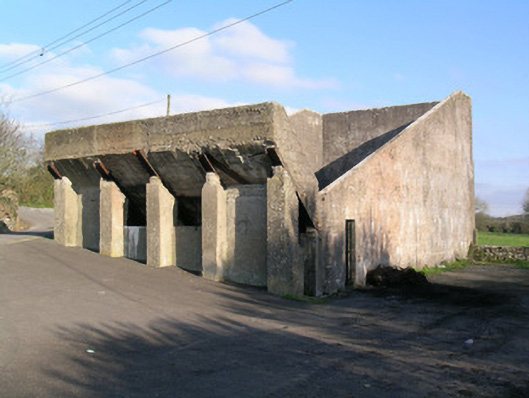 Ballindangan Handball Alleyhandball alley · 1.4 mi
 Carriganoura Castle (in Ruins)Castle, tower house · 1.6 mi
 Caherdrinny Castle (in Ruins)Castle, tower house · 1.7 mi
 Statue of Saint FanahanMemorial · 1.9 mi
 Mitchelstown Town MapVisitor information · 2.0 mi
 John MandevilleMemorial · 2.1 mi
 FlagCave · 2.2 mi
 St Dominick's WellSpring · 4.4 mi
 Kilclooney WoodWood · 4.4 mi