What is recorded here
Fairy fort / earthen ringfort in Curraghscarteen is a fairy fort or earthen ringfort in Curraghscarteen, County Tipperary, Ireland. It occupies a north-facing slope of a natural hillock under pasture. A gravelly earthen bank surrounds a raised interior about 35 metres across, while an outer ditch circles the bank. A narrow gap in the south-southeast quadrant and a cattle gap in the west quadrant break the ring.
On a N-facing slope of natural hillock in generally undulating terrain, under pasture. Ringfort with raised enterior (diam. c. 35m; 37.3m E-W) defined by a gravelly earthen bank (Wth 6.3m; int. H 0.96m; ext. H 2.33m), more pronounced from NE-S-SW and outer fosse (Wth 2.7m; D 0.5m), partially filled in SW and NW quadrants. Linear quarry (dims. L 16.4m; Wth 5.6m; D 1.27m) in interior in NW quadrant running N-S. Gap (Wth 1.4m) in SSE quadrant. Scrub growing in interior and around edge of monument. Cattle gap (Wth 0.8m) through bank in W quadrant. Dead wood in centre of interior and up against ext. face of bank in SW quadrant.
Compiled by: Jean Farrelly
Date of upload: 26 August 2011
The monument record does not grant public access. Check the route and ask the landowner before entering private land.
- What survives
- Recorded monument
Places near here
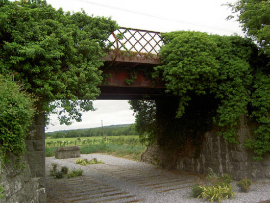 bridgebridge · 1239 yd
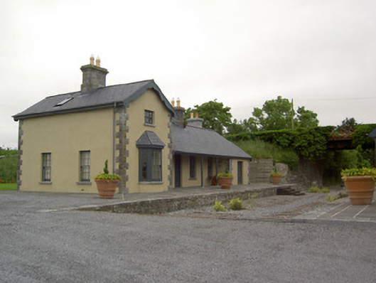 Farranaleen Railway Stationrailway station · 1240 yd
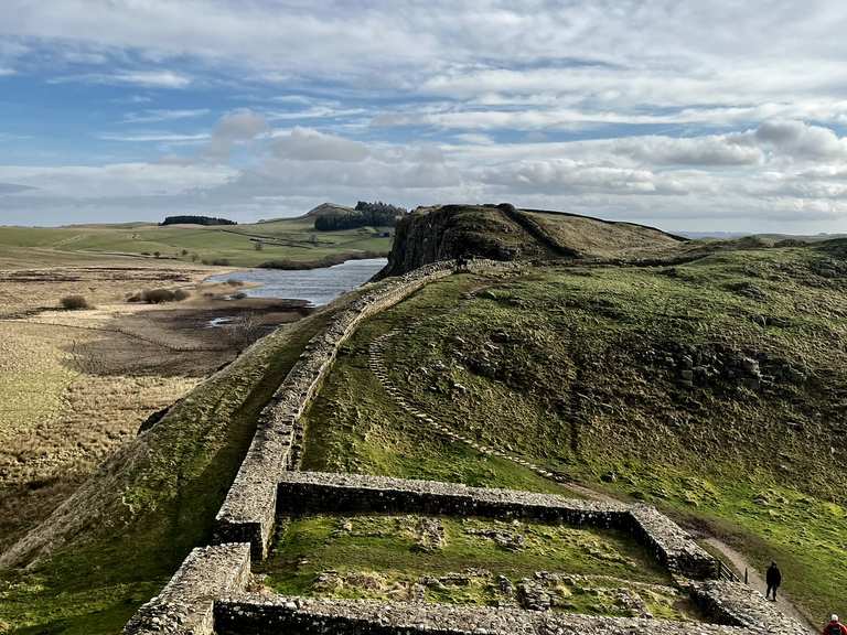 Moandoolish fortFairy fort / earthen ringfort · 1246 yd
 Concentric enclosure in WoodhouseConcentric enclosure · 1461 yd
 CastleCastle, tower house · 1599 yd
 Bawn in Ballyvadin (magorban Par.)Bawn · 1.1 mi
 Kilknockan HillMountain / peak · 2.9 mi
 Noan WoodWood · 3.3 mi
 Taylor's WoodWood · 3.4 mi
 East GateMemorial · 3.7 mi
 Ballinure HillMountain / peak · 3.9 mi
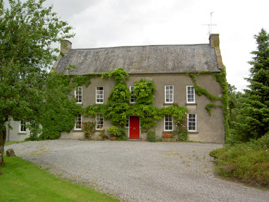 Clonbrogan Househouse · 1514 yd