What is recorded here
Fairy forts are human places misnamed because people stopped remembering they were human. Curraghnalaght kept its shape long enough to be measured at eighty-six by one hundred feet before pasture and forgetting smoothed it into a circle. The fairies never lived there. They are the excuse humans give when they stop owning the past.
In pasture. Depicted as hachured, roughly circular enclosure (diam. c. 25m) on 1842 and 1937 OS 6-inch maps; hachured oval enclosure (c. 30m N-S; c. 20m E-W) on 1904 OS 6-inch map. According to Hartnett (1939, 220), enclosure was 'oval in plan 100 feet x 86 feet and enclosed by a low single rampart'. Levelled; rough vegetation marks area of site (diam c. 39.4m).
The above description is derived from the published 'Archaeological Inventory of County Cork. Volume 3: Mid Cork' (Dublin: Stationery Office, 1997). In certain instances the entries have been revised and updated in the light of recent research.
Date of upload/revision: 14 January 2009
The monument record does not grant public access. Check the route and ask the landowner before entering private land.
- What survives
- Recorded monument
Places near here
 The Gablespresbytery/parochial/curate's house · 454 yd
 Fulacht fia in ClogheenmilconFulacht fia · 538 yd
 Shantempleen (in Ruins)Church · 1021 yd
 Milestone (present location) in ArdamadaneMilestone (present location) · 1739 yd
 Ring WoodWood · 1.0 mi
 River Martin Mill & WeirVisitor information · 1.0 mi
 Jerry O'Connor 1955-2005Memorial · 1.1 mi
 Waterloo Loop WalkWalking route · 1.1 mi
 BatsVisitor information · 1.2 mi
:BlarneyCastle,KinsaleCorkCityShoreTour-KlookIndia.jpg) Clogheenmilcon SanctuaryNature reserve · 1.2 mi
Clogheenmilcon SanctuaryNature reserve · 1.2 mi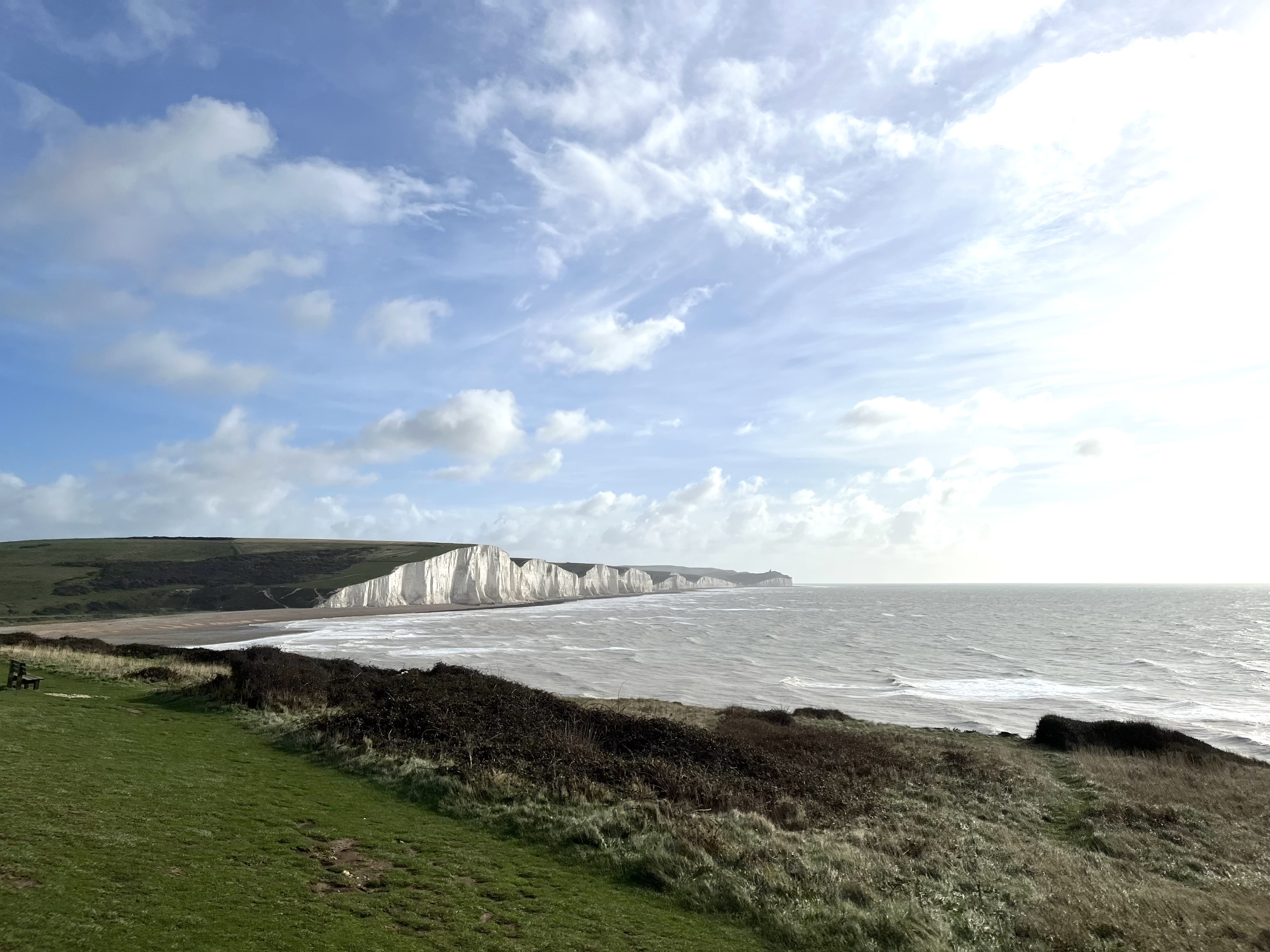 The Seven SistersHeritage attraction · 1.7 mi
 The Rock CloseHeritage attraction · 1.7 mi