What is recorded here
Located on a broad, low, N-S ridge. The cropmark of a subcircular enclosure (int. diam. c. 35m) is visible on aerial photograph (CUCAP, ASZ 49). Slight traces of a scarp (C 32m; H 0.4m) are visible SE-SW in pasture
The above description is derived from the published 'Archaeological Inventory of County Wexford' (Dublin: Stationery Office, 1996). In certain instances the entries have been revised and updated in the light of recent research.
Compiled by: Michael Moore
Date of upload/revision: 23 July 2013
The monument record does not grant public access. Check the route and ask the landowner before entering private land.
- What survives
- Recorded monument
Places near here
 farm housefarm house · 1044 yd
 Field boundary in BaylestownField boundary · 1117 yd
 Lockheed Hudson AM885 MemorialMemorial · 1135 yd
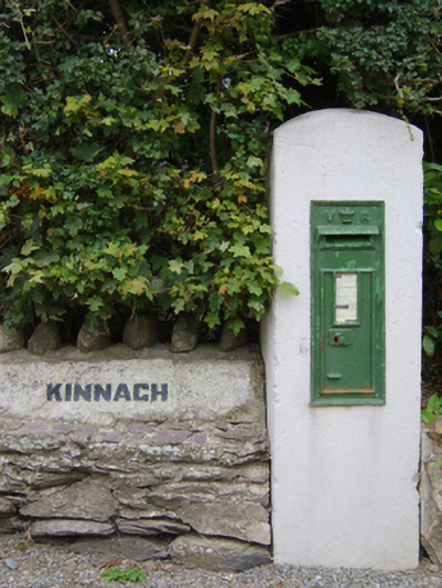 post boxpost box · 1158 yd
 Enclosure in BallyvarogeEnclosure · 1411 yd
 1798Memorial · 1.5 mi
 Bawn in TaylorstownBawn · 2.1 mi
 Site of CastleCastle, unclassified · 2.2 mi
 Tinnock RockNamed rock · 3.7 mi
 Grange BeachBeach / strand · 3.7 mi
 Common WhitebeamCommon Whitebeam · 4.0 mi
 AshgroveVisitor information · 4.4 mi