What is recorded here
Located at the summit of a broad hill. The cropmark of the W half of a large bivallate enclosure (int. diam. c. 55m; ext. diam. c. 85m) is visible on aerial photographs (CUCAP, AOX 42 5). The inner fosse feature is more substantial than the outer. It is not visible at ground level in pasture, and the outer fosse extends into Tintern at the S.
The above description is derived from the published 'Archaeological Inventory of County Wexford' (Dublin: Stationery Office, 1996). In certain instances the entries have been revised and updated in the light of recent research.
Compiled by: Michael Moore
Date of upload/revision: 22 July 2013
The monument record does not grant public access. Check the route and ask the landowner before entering private land.
- What survives
- Recorded monument
Places near here
 farm housefarm house · 161 yd
 Tintern Abbeygates/railings/walls · 822 yd
 Enclosure in BallyvarogeEnclosure · 1139 yd
 Field system in TinternField system · 1416 yd
 1798Memorial · 1608 yd
 Lockheed Hudson AM885 MemorialMemorial · 1.0 mi
 Site of CastleCastle, unclassified · 2.0 mi
 Bawn in TaylorstownBawn · 2.3 mi
 Grange BeachBeach / strand · 3.1 mi
 AshgroveVisitor information · 3.8 mi
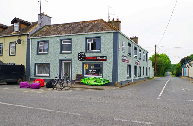 Hook Tourism (Fethard Office)Visitor information · 4.1 mi
 Common WhitebeamCommon Whitebeam · 4.2 mi