What is recorded here
Fairy fort / earthen ringfort in Curraghgraigue Upper is a fairy fort or earthen ringfort in Curraghgraigue Upper, County Tipperary, Ireland. It sits on a northeast-facing ridge slope in pasture, marked by a three-metre-wide earthen bank and a deep outer ditch. A narrow gap in the northeast quadrant provides entry, while trees fill the interior in rough east-west rows. The ditch remains broad and shallow elsewhere, though it becomes shallow downslope and is not visible from southeast through east to northeast.
Situated on a NE-facing slope of a ridge, in pasture. A univallate ringfort defined by a earthen bank (Wth 3m; int. H 0.65m; ext. H 2.1m) and outer fosse (Wth 4.7m; D 1.14m) with an entrance gap (Wth 1.9m) in the NE quadrant. The interior is planted with trees, roughly in E-W rows. The fosse becomes shallow downslope and is not visible SE-E-NE. Elsewhere the fosse is broad, shallow, and U-shaped, deepest at S and N-NW. Upslope from W-SW the fosse has been filled with stones and is mostly grassed over.
The above description is derived from 'The Archaeological Inventory of County Tipperary. Vol. 1 - North Tipperary' compiled by Jean Farrelly and Caimin O'Brien (Dublin: Stationery Office, 2002). In certain instances the entries have been revised and updated in the light of recent research.
Date of upload/revision: 22 September 2008
The monument record does not grant public access. Check the route and ask the landowner before entering private land.
- What survives
- Recorded monument
Places near here
 IndicatedFairy fort / earthen ringfort · 853 yd
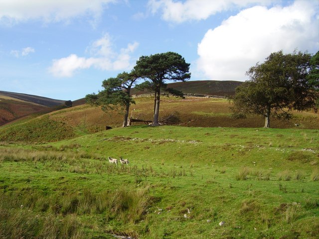 Hillfort in Cloghonan,knockadigeenHillfort · 872 yd
 Knockadigeen HillMountain / peak · 873 yd
 LisnarahaCastle, ringwork · 1341 yd
 Knockacraheen HillMountain / peak · 1371 yd
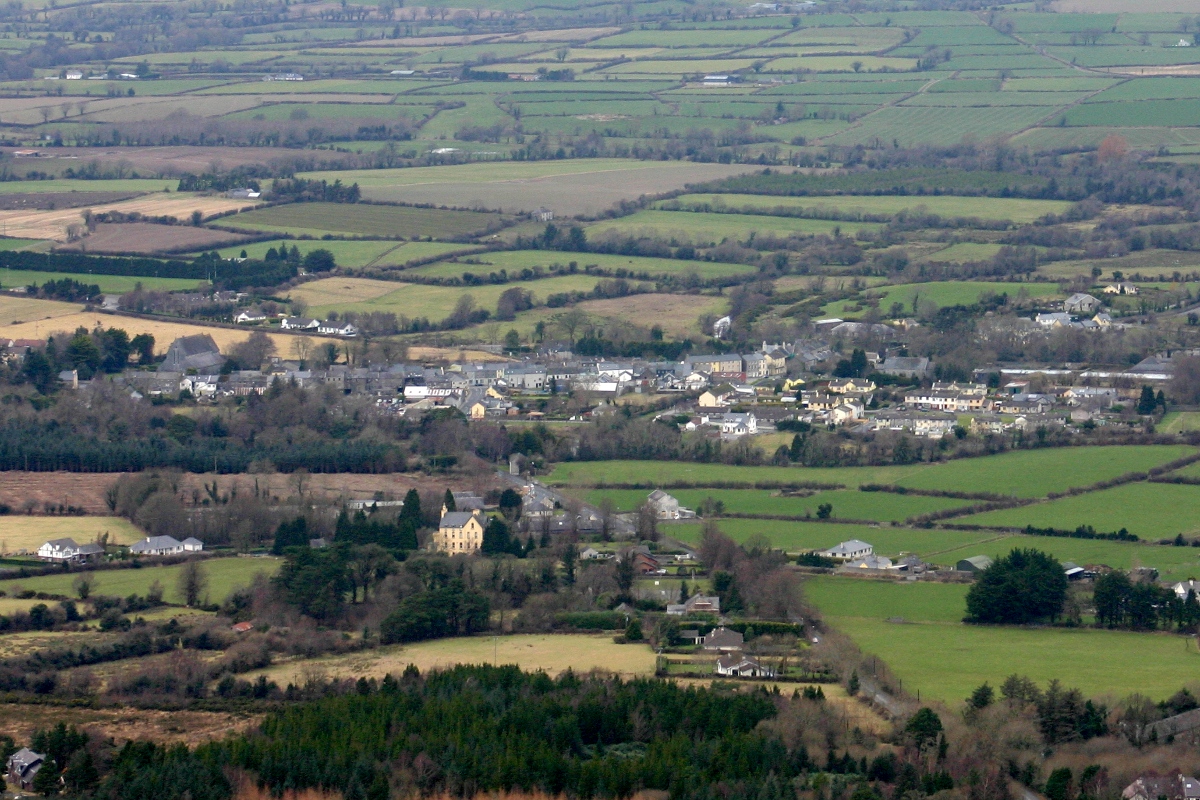 CastleCastle, unclassified · 1394 yd
 RoadRoad, road/trackway · 1715 yd
 Killavalla WoodForest · 1.1 mi
 All Saints Catholic Churchchurch/chapel · 1.6 mi
 Sweet ChestnutSweet Chestnut · 4.7 mi
 Old BarracksHeritage attraction · 6.3 mi
 Nenagh Heritage CentreMuseum · 6.4 mi