What is recorded here
Fairy forts are earthen rings built by human hands, yet named for the unseen because they sit untouched and strange in ordinary fields. This one in Curraghgorm keeps that boundary blurred: a shallow circular bank, partly swallowed by fences and gaps, tilting gently toward the south-west as if inviting entry rather than resisting it. People may have lived, herded, hidden or worshipped there before the name changed; the earth remembers shape even when the story has been forgotten.
In pasture, on SSW-facing slope. Circular raised area (30m E-W; 29m N-S) enclosed by earthen bank (int. H 0.3m; ext. H 1.2m) NE->NNW, incorporated into field fence system NNW->NE; external fosse (D 0.5m). Numerous gaps in bank. Interior slopes gently down to SSW.
The above description is derived from the published 'Archaeological Inventory of County Cork. Volume 4: North Cork' (Dublin: Stationery Office, 2000). In certain instances the entries have been revised and updated in the light of recent research.
Date of upload/revision: 14 January 2009
The monument record does not grant public access. Check the route and ask the landowner before entering private land.
- What survives
- Recorded monument
Places near here
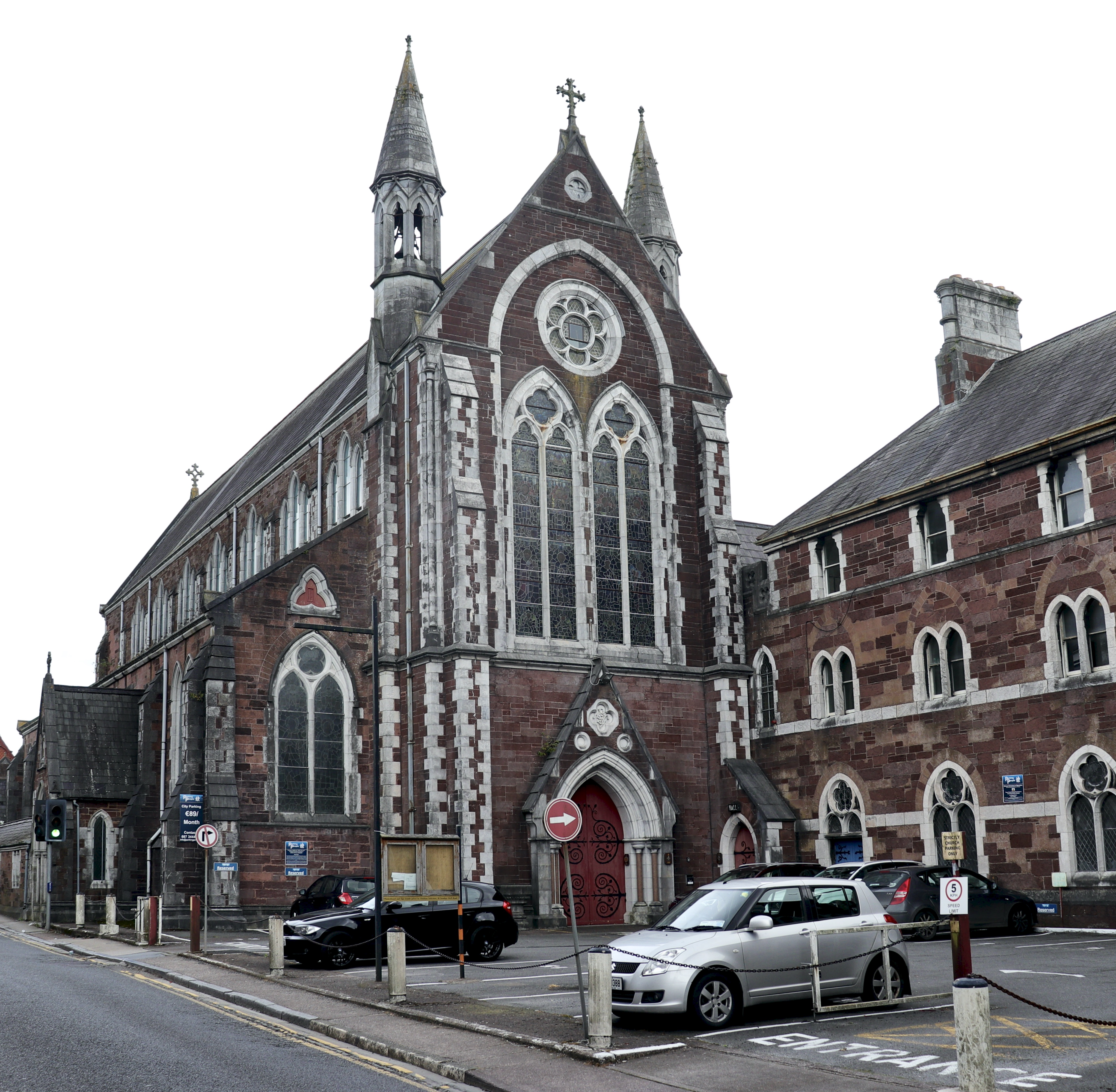 Church in BaunnanooneenyChurch · 835 yd
 Folacht FiadhFulacht fia · 883 yd
 IndicatedHouse, vernacular house · 925 yd
 Kilclooney WoodWood · 1669 yd
 Mound in KnockagarryMound · 1.1 mi
 CastleCastle, unclassified · 2.1 mi
 Carriganoura Castle (in Ruins)Castle, tower house · 2.4 mi
 CarrigeenamronetyMountain / peak · 3.1 mi
 Flat cemetery in Ballyenahan NorthFlat cemetery · 4.0 mi
 John MandevilleMemorial · 4.4 mi
 Mitchelstown Town MapVisitor information · 4.4 mi
 North Meadow WoodForest · 4.9 mi