What is recorded here
Fairy fort in Curraghcreen, County Cork: a levelled earthen ringfort on a southwest-facing slope, still marking a shallow saucer twenty-one to twenty-two metres across. Cattle walk beside its faint scarp now, while the old fence lines have vanished from the pasture. People may have lived there before the field took the shape back, but the earth keeps the circle clear enough to imagine lamps, children, arguments and rain.
In pasture, on brow of SW-facing slope. Depicted as hachured circular enclosure (diam. c. 30m) on 1842 OS 6-inch map. Levelled; survives as circular, slightly raised, saucer-shaped area (internal diam. 21m N-S; 22m E-W) defined by scarp (H 0.55m). Surrounding field fences removed. Recorded by Bowman (1934, 15) as levelled, single-ramparted fort (diam. 39yd) on J. Cagney's land.
The above description is derived from the published 'Archaeological Inventory of County Cork. Volume 4: North Cork' (Dublin: Stationery Office, 2000). In certain instances the entries have been revised and updated in the light of recent research.
Date of upload/revision: 14 January 2009
The monument record does not grant public access. Check the route and ask the landowner before entering private land.
- What survives
- Recorded monument
Places near here
 Kilcranathan WellHoly well · 1055 yd
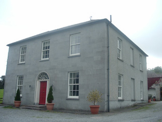 Blossomfort Househouse · 1160 yd
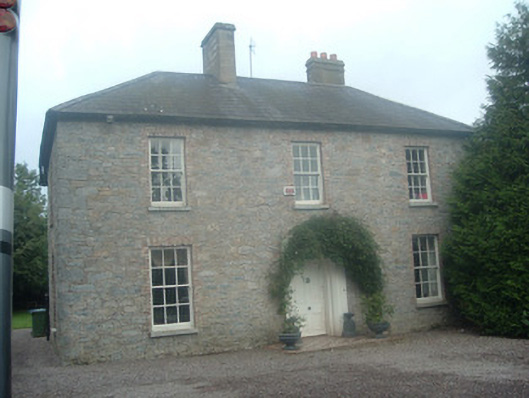 presbytery/parochial/curate's housepresbytery/parochial/curate's house · 1252 yd
 CastleBawn · 1631 yd
 Fulacht fia in KilmichaelFulacht fia · 1643 yd
 Castle (Remains of)Castle, unclassified · 1.9 mi
 Dromaneen CastleHeritage attraction · 2.0 mi
 Graveyard in Ballygiblin (duhallow By.)Graveyard · 3.2 mi
 In loving memory of Elvis O'DonoghueMemorial · 3.5 mi
 European YewEuropean Yew · 4.7 mi
 Burial ground in AssolasBurial ground · 5.0 mi
 Mount HillaryMountain / peak · 5.7 mi